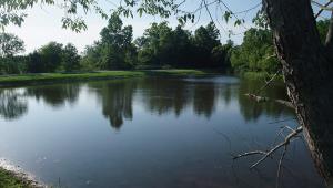
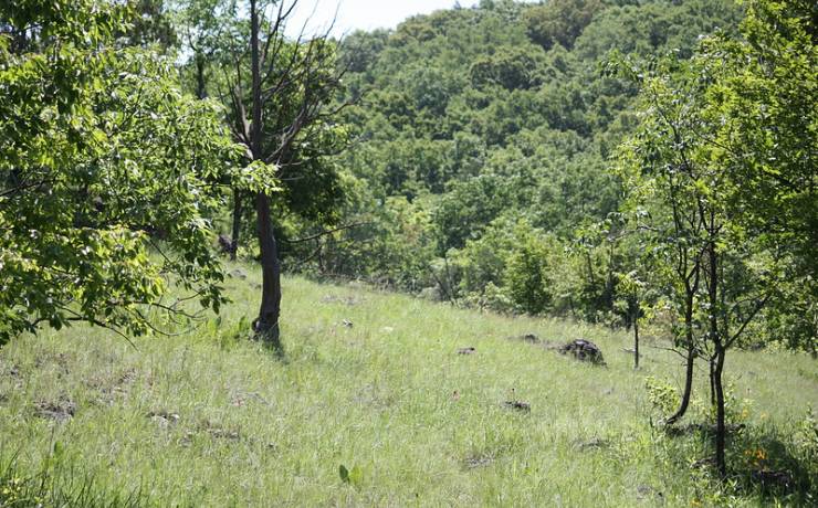
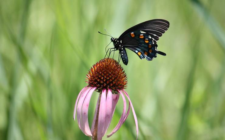
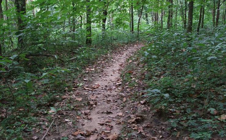
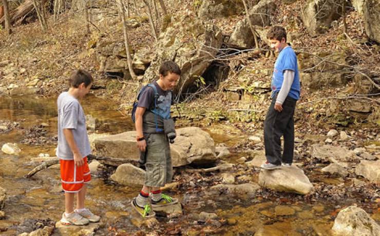
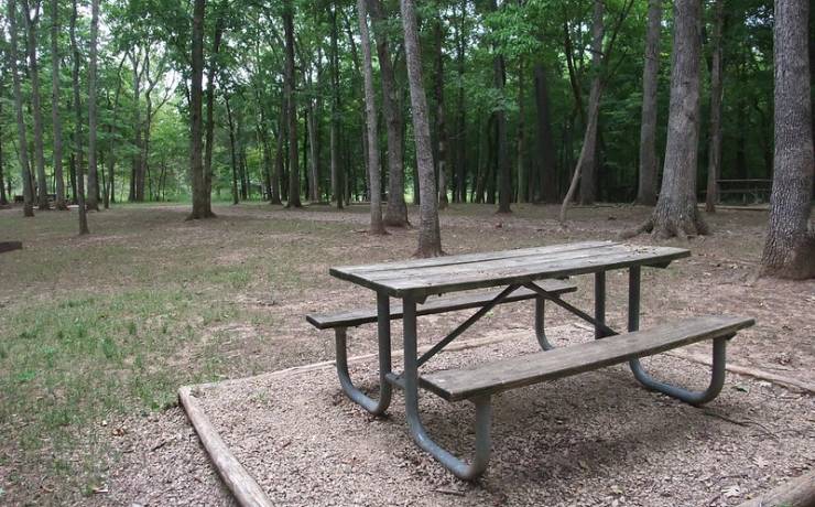
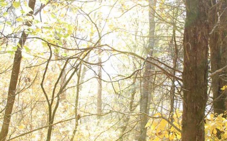
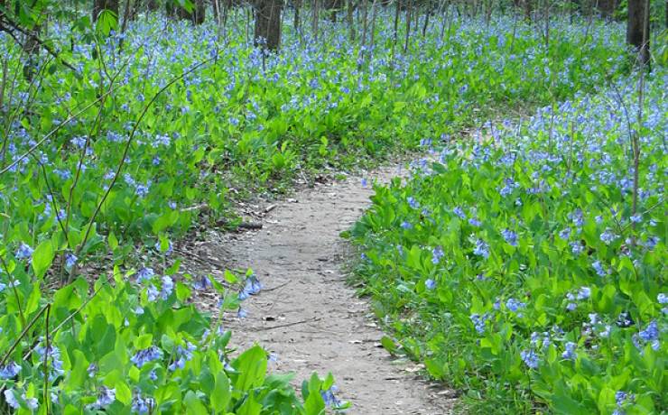
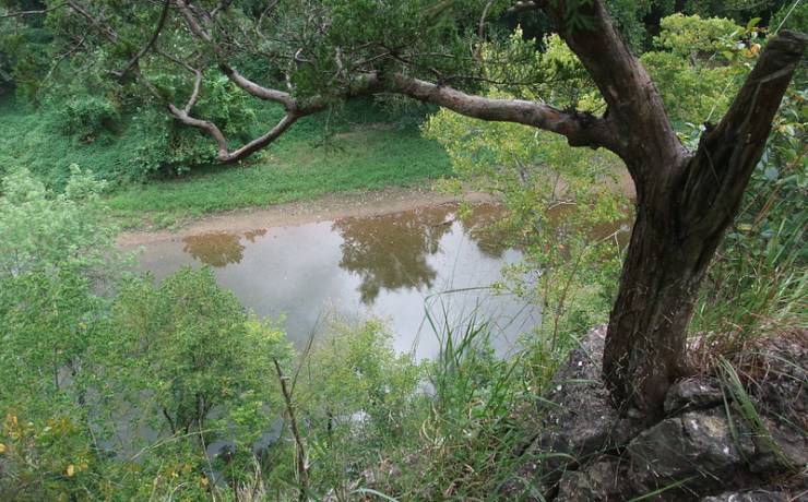
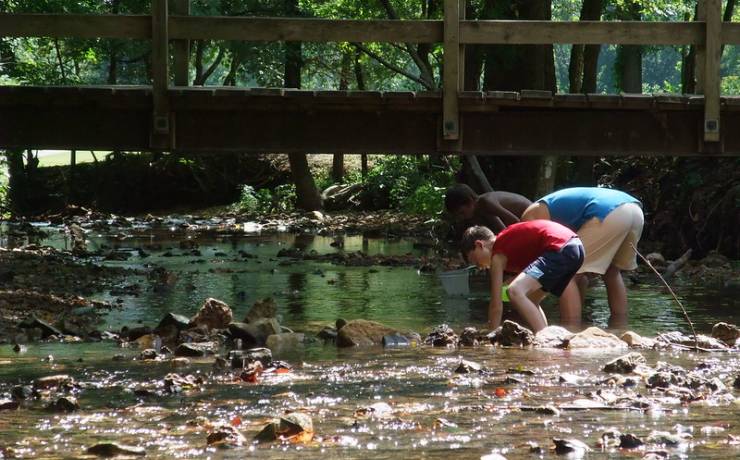
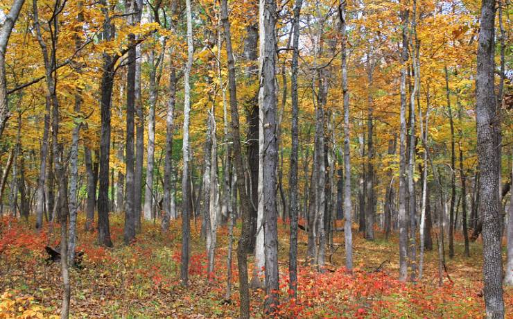
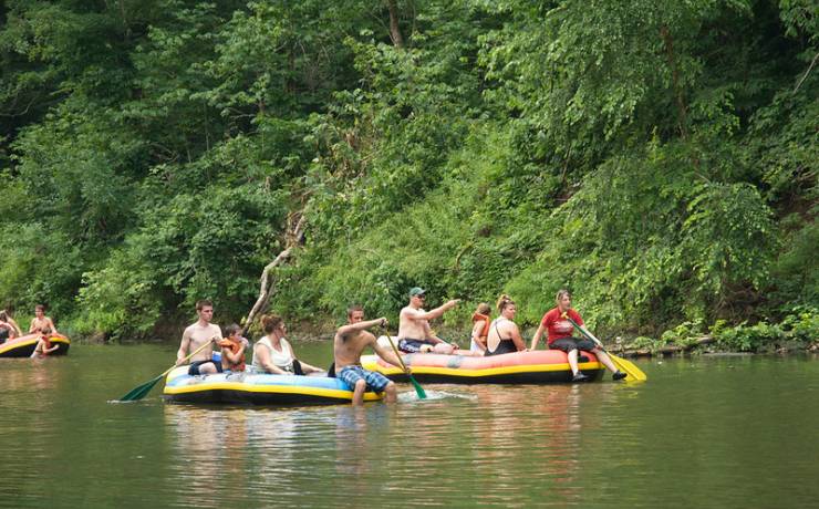
[Skip all navigation]

DNR Home PageDNR Home Page | Locator Map | Resource Center | FAQ | Events | Directory | Search

St. Francois State Park
573-358-2173

Trails

There are four different trails in St. Francois State Park, ranging in length from one-half mile to over 11 miles. Color-coded signs mark each trail, and a trail map is available at all brochure stations throughout the park. All trails traverse moderate terrain with rolling hills and some rocky stretches. Bicycles and motorized vehicles are not permitted on any trails.

Overnight backpacking is available on the 11-mile Pike Run Trail. Backpackers must fill out a trail registration card at the trailhead. Backpackers may camp anywhere along the trail, at least 100 feet off the path and at least one-fourth mile from the trailhead. Campfires are prohibited, and no water is available along the trail. Backpackers should plan to bring a cooking stove and drinking water.

Pike Run Trail is also available to equestrian users. The trail parking area will accommodate several large trailers, and hitching posts are provided.

Mooner’s Hollow Trail -- 2.7 miles

This trail follows the narrow, steep valley of Coonville Creek and its many rugged tributaries. The trail is so named because of the past activity of moonshiners in the area. Coonville Creek is part of the Coonville Creek Natural Area, so preserved because of it is one of the best examples of this type of natural community that can be found in the state. Crystal clear waters, scenic open woodlands and even a waterfall await you along the trail. This loop trail, marked in blue arrows, is moderate in difficulty and begins and ends in the picnic area.

Pike Run Trail -- 11 miles

This hiking and equestrian trail traverses much of the undeveloped 2,101-acre Coonville Creek Wild Area. It includes a 6.7-mile southern loop and a 4.3-mile northern loop. This region, formally known as the Pike Run Hills, encompasses a scenic and diverse remnant of Ozark terrain. Diverse forests and grassy forest openings, called glades, occur along the trail. Wildlife abounds in this expansive wilderness. This trail is moderate to difficult. The loops are signed with yellow arrows and the connecting trail with green arrows.

Swimming Deer Trail -- 2.7 miles

Beginning at the east end of the campground, this trail follows the Big River for approximately one mile and circles back along the hillside to its origin. Scenic bluff overlooks offer a panoramic view of the Big River valley. Trail users can take a step back in time as they pass by an area once used for surface lead mining. This trail is moderate in difficulty and signed with green arrows.

Missouri Trail -- 0.5 mile

The Missouri Trail is a short hiking trail that skirts the outer edge of the campground and passes through a wide range of vegetative associations. Within mere feet, hikers can view unique glade wildflowers and then experience a scenic open woodland reminiscent of pioneer days. This trail is easy in difficulty and is identified with orange arrows.

Rules of the Trail

The trails in St. Francois State Park are yours. Please help to maintain and preserve their beauty by following these rules: