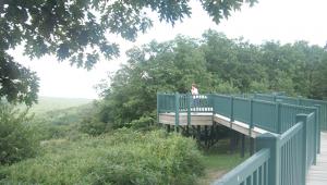
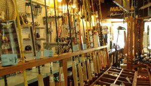
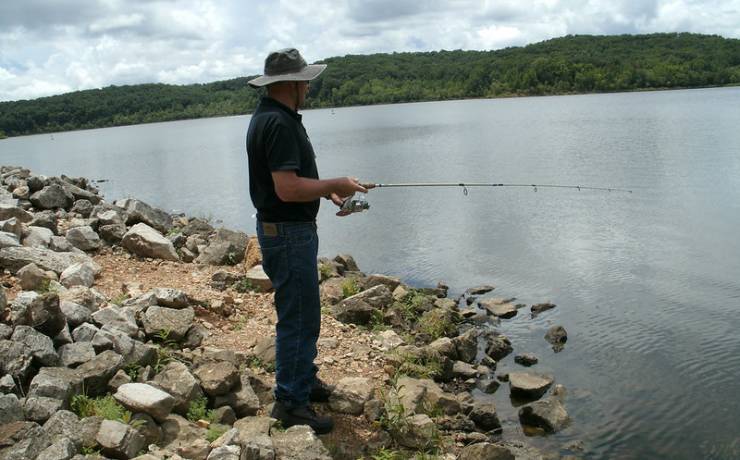
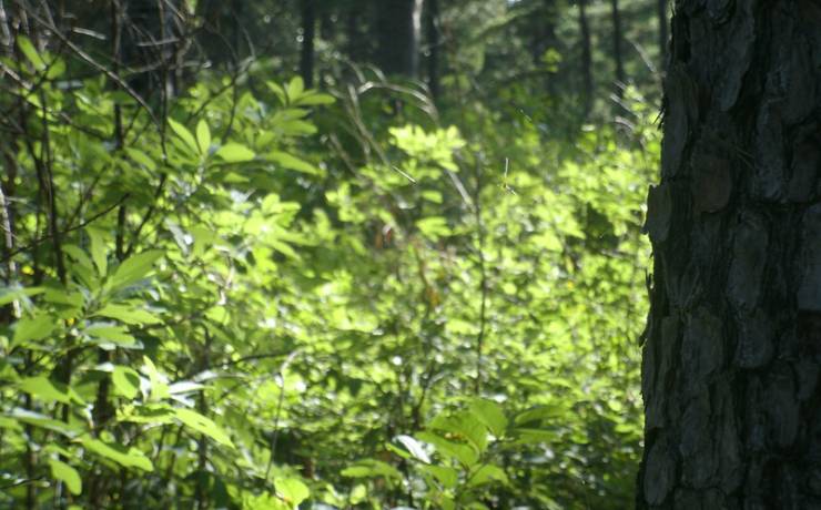
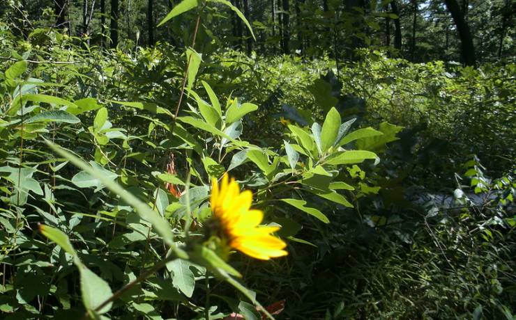
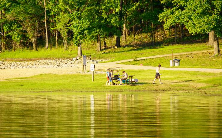
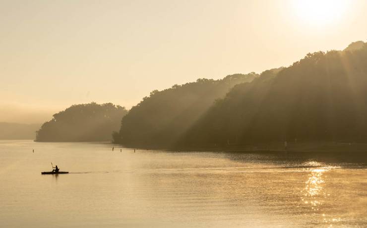
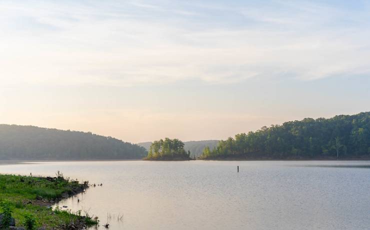
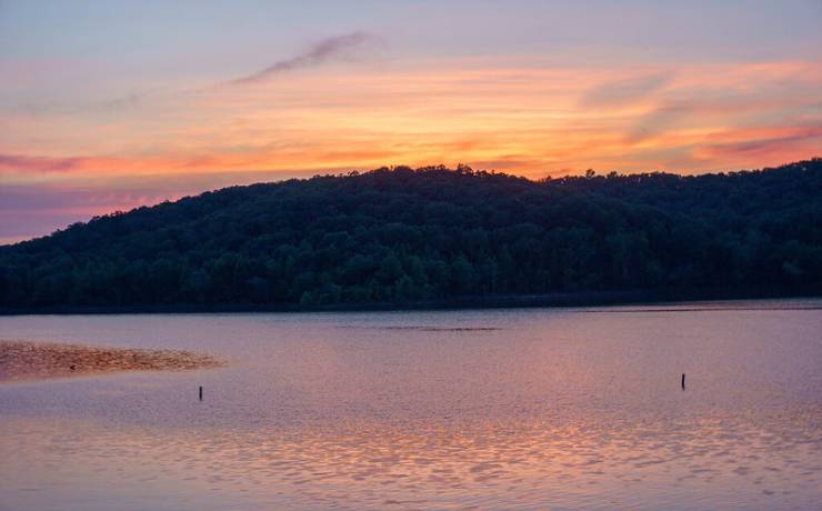
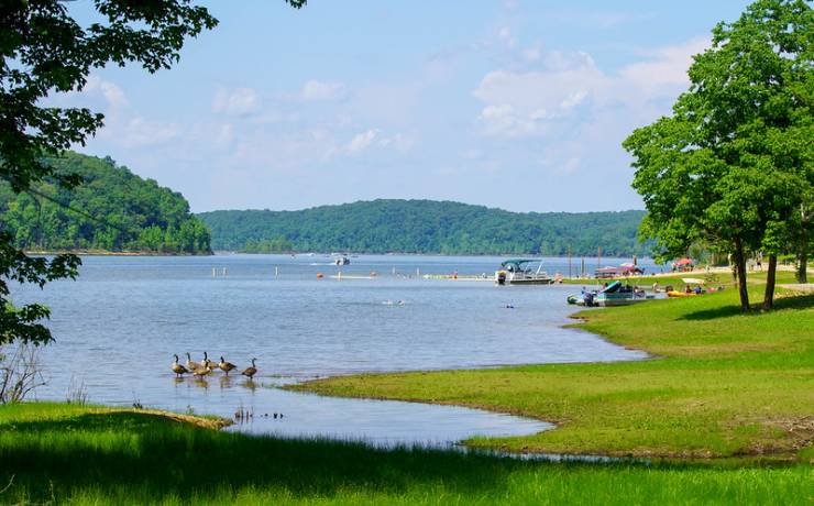
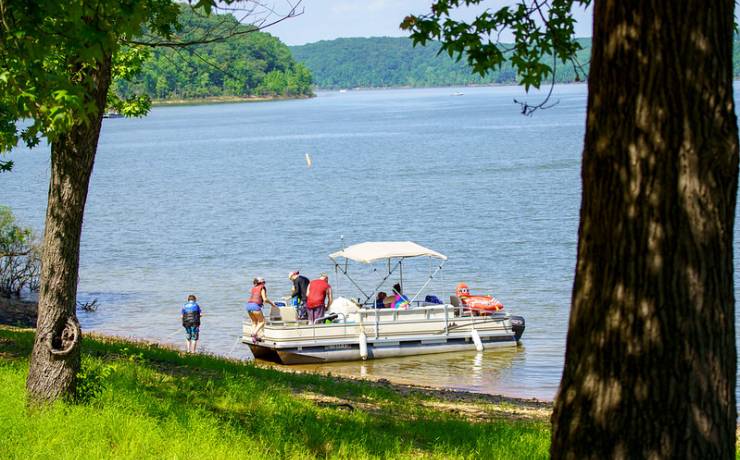
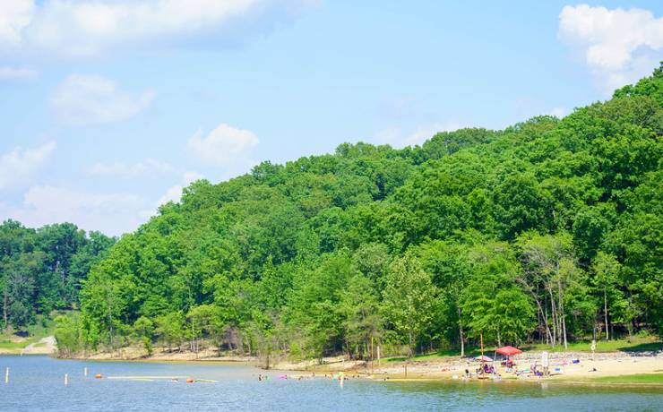
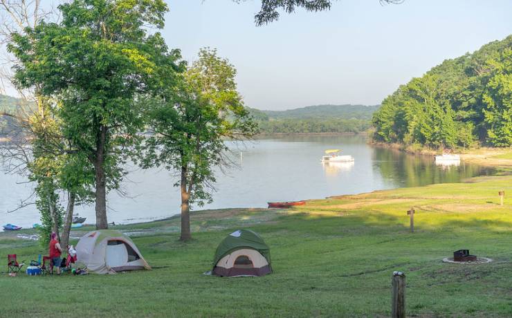
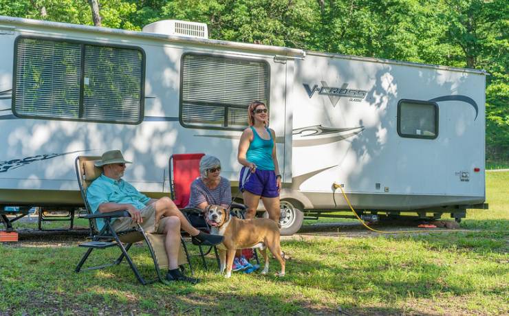
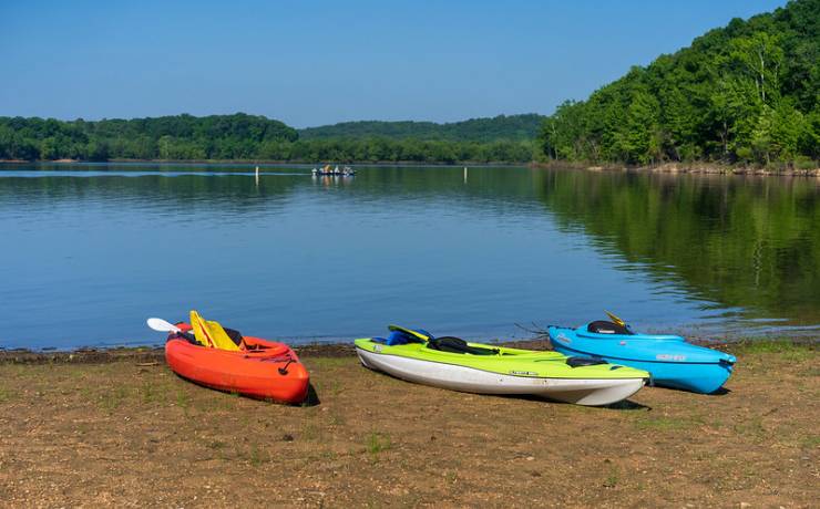
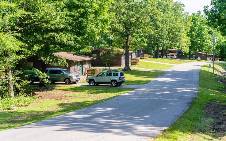
Park Map
![]() |
HC 2, Box 102,
Williamsville, MO 63967 573-297-3232 16 miles north of Poplar Bluff on U.S. Hwy. 67, and 8 miles east on Hwy. 172 in Wayne County |
Map of
Lake Wappapello SP How to get to Lake Wappapello SP |
Map of Lake Wappapello State Park

Directions to Lake Wappapello State Park
From St. Louis
Take I-55 south to U.S. Hwy. 67, Park Hills exit, at Festus. Travel approximately 77 miles or 1.5 hours to the town of Greenville. Remain on U.S. Hwy. 67 south for 16 more miles. Turn left onto Hwy. 172 east. Follow Hwy. 172 five miles to a stop sign where you will turn left. Travel one mile and turn right onto Hwy. 172 east. Hwy. 172 ends in the state park.
From Jonesboro, Ark.
Take U.S. Hwy. 49 north approximately 24 miles to AR Hwy. 135. Turn left onto AR Hwy. 135 and travel about 22 miles to U.S. Hwy. 62, where you will turn left. Continue on U.S. Hwy. 62 for four miles before turning right onto U.S. Hwy. 67. Travel approximately 40 miles north on U.S. Hwy. 67 to Hwy. 172, where you will turn right. Follow Hwy. 172 for five miles to a stop sign. Turn left at the stop sign and travel one mile before turning right onto Hwy. 172 east. Hwy. 172 ends in the park.
From Memphis, Tenn.
Take I-40 west approximately 8 miles to Exit 277 at Blytheville/Jonesboro. Exit onto I-55 north and travel to Sikeston. Take U.S. Hwy. 60 west to Poplar Bluff; then take Route T north to Route KK. Turn left onto Route KK, then right onto Route W, then right onto Hwy. 172 for two miles into the state park.
From Springfield, Mo.
Take U.S. Hwy. 60 east for 187 miles to U.S. Hwy. 67. Turn left/north onto U.S. Hwy. 67 and continue for approximately 9 miles to Hwy. 172. Turn right onto Hwy. 172 and continue for five miles to a stop sign. Turn left at the stop sign and travel one mile before turning right onto Hwy. 172 east. Hwy. 172 ends in the park.


