

Park Information
Purchase ORV permits online by clicking here.
ORV permits sold online are for same-day use only. Riders can purchase their ORV permit before arriving to the park. Permits are nonrefundable and nontransferable. After purchasing an online permit for the specific park and vehicle type you select, you will receive a confirmation email that includes your receipt and permit. Simply present the permit, in paper or electronic form, at the window upon arrival at the park. Please be sure to read all of the information included on your confirmation letter and permit prior to arrival and bring along the appropriate riding gear. Riders must carry the permit with them at all times when operating the ORV.
ORV permits are also available at the park office upon arrival.
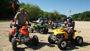
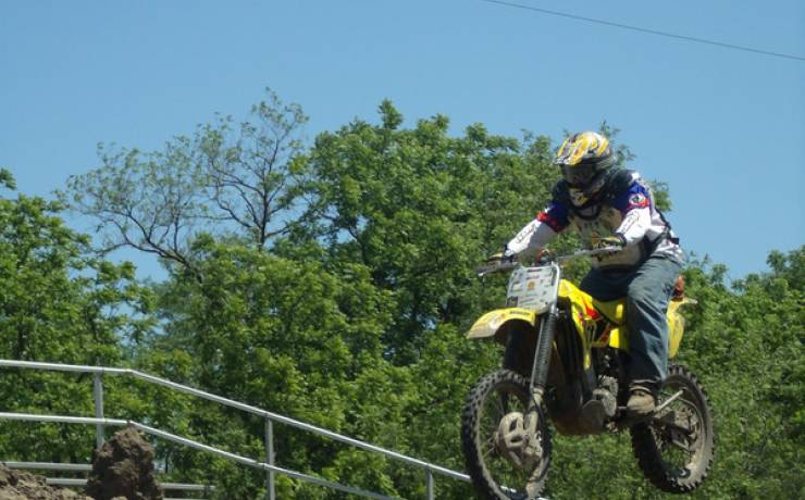
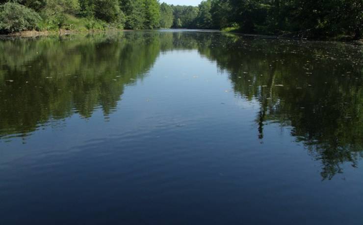
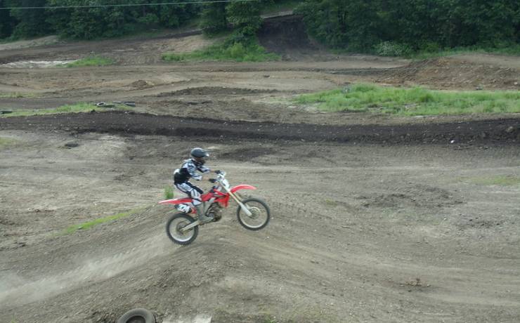
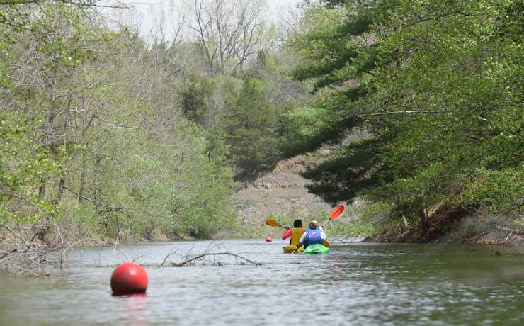
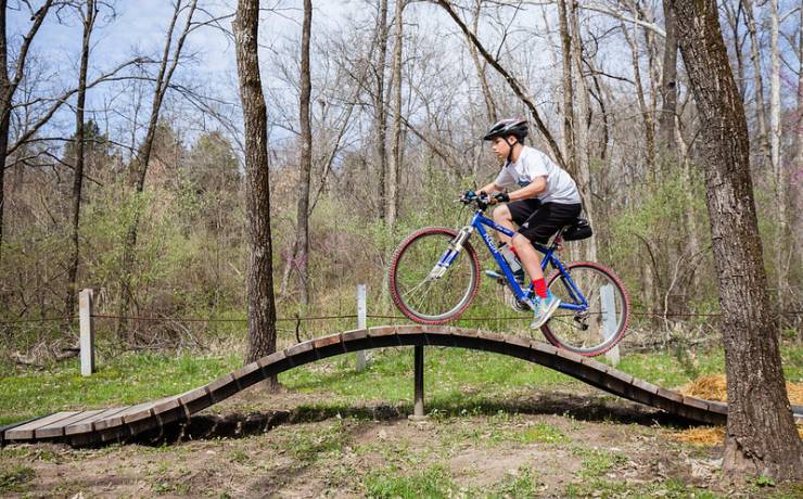
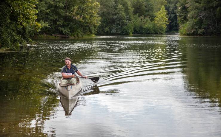
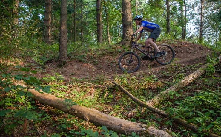
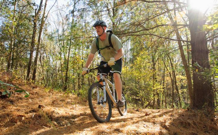
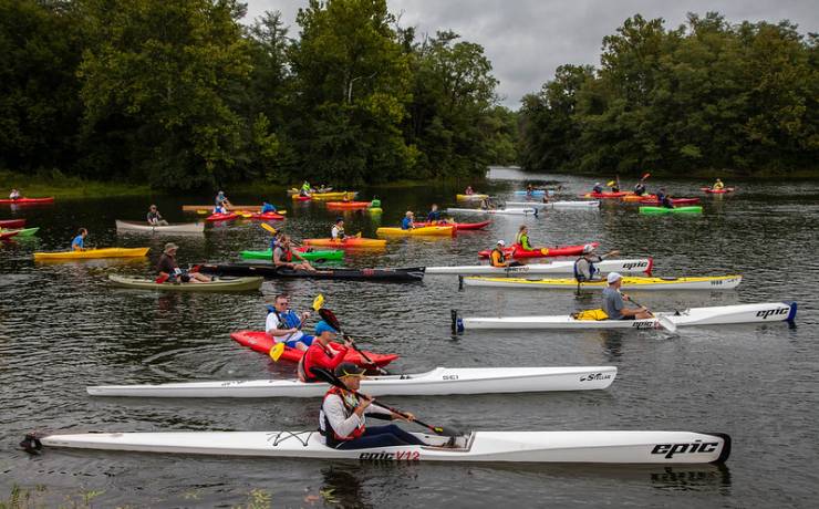
The roar of ATVs and off-road motorcycles combines with the peacefulness of rolling hills at Finger Lakes State Park, one of two ATV parks in the state parks system. Built in a former coal mining area, Finger Lakes’ trails and motocross track are popular with users who come for the day, but often fall under the spell of the spacious campground, leafy trees and hilly terrain. The park is also the site of the challenging 2.75-mile Kelley Branch Mountain Bike Trail and a 4.5-mile water trail.