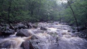
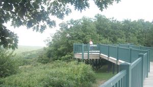
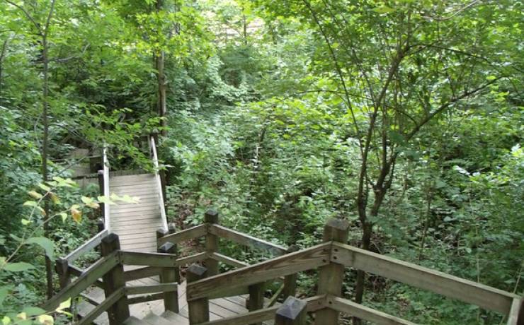
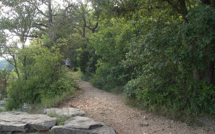
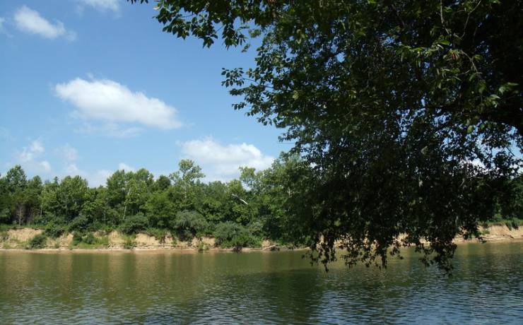
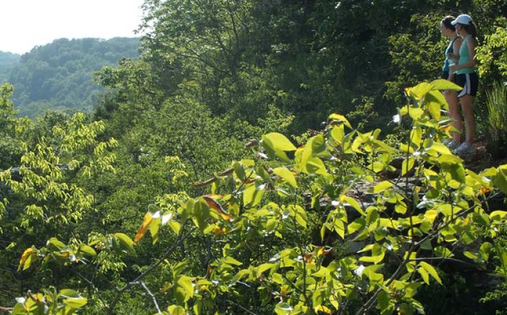
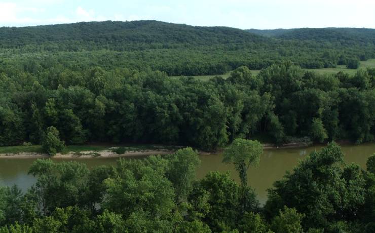
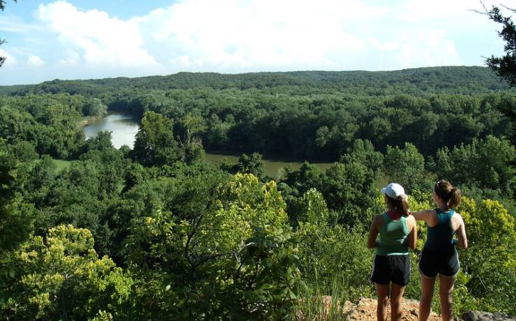
[Skip all navigation]

DNR Home PageDNR Home Page | Locator Map | Resource Center | FAQ | Events | Directory | Search

Castlewood State Park
636-227-4433

Park Map

St. Louis County 1401 Kiefer Creek Road, Ballwin, MO 63021
636-227-4433
Off Hwy. 141, west on Big Bend Road to Ries Road, left on Reis Road; park entrance at intersection of Kiefer Creek and Ries roads, St. Louis County
Map of Castlewood SP
How to get to Castlewood SP
Places to visit nearby

Map of Castlewood State Park

Map of Castlewood State Park.


Directions to Castlewood State Park

From the south on I-44 or I-55
Take the Hwy. 141 exit and travel north on Hwy. 141 to Big Bend Road. Turn left onto Big Bend Road and travel west to Ries Road. Turn left onto Ries Road and continue until reaching the park entrance at the intersection of Kiefer Creek and Ries roads.

From I-270
Take the Dougherty Ferry Road exit and travel west on Dougherty Ferry to Big Bend Road. Turn right onto Big Bend Road and travel west to Ries Road. Turn left onto Ries Road and continue until reaching the park entrance at the intersection of Kiefer Creek and Ries roads.

From the north on U.S. Hwy. 40/61
Take the Clarkson exit (near Chesterfield Mall) and travel south. Clarkson crosses Manchester Road and becomes Kiefer Creek Road which leads into the state park.

From Hwy. 100/Manchester Road (three options)
Take Kiefer Creek Road off of Manchester/Hwy. 100. Kiefer Creek Road will lead into the state park    OR     Take Ries Road off of Manchester/Hwy. 100. Follow Ries Road to the intersection with Kiefer Creek Road at the park entrance.    OR    Take New Ballwin Road off of Manchester/Hwy. 100. When New Ballwin Road intersects with Kiefer Creek Road, turn left and continue into the state park.

Map to locate Castlewood State Park.


Places to Visit Nearby

Dr. Edmund A. Babler Memorial State Park, Wildwood -- directions