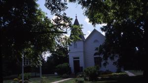
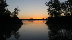
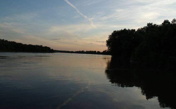
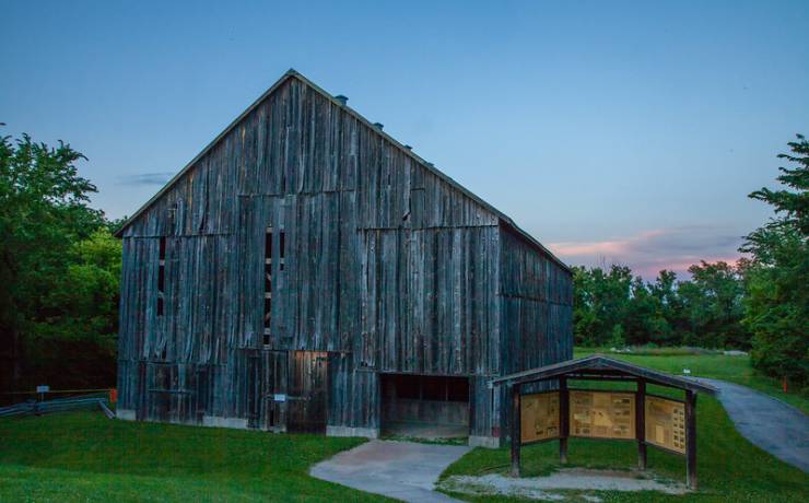
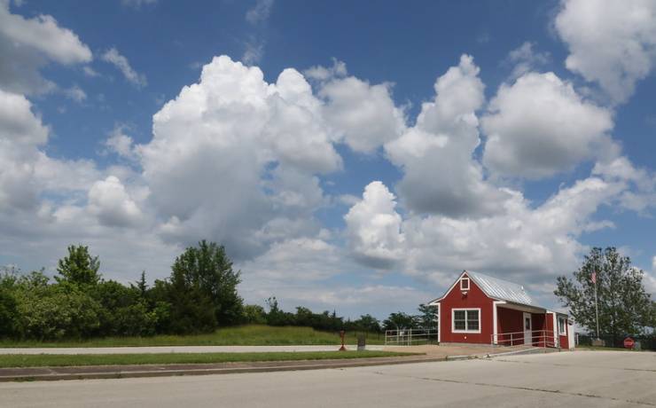
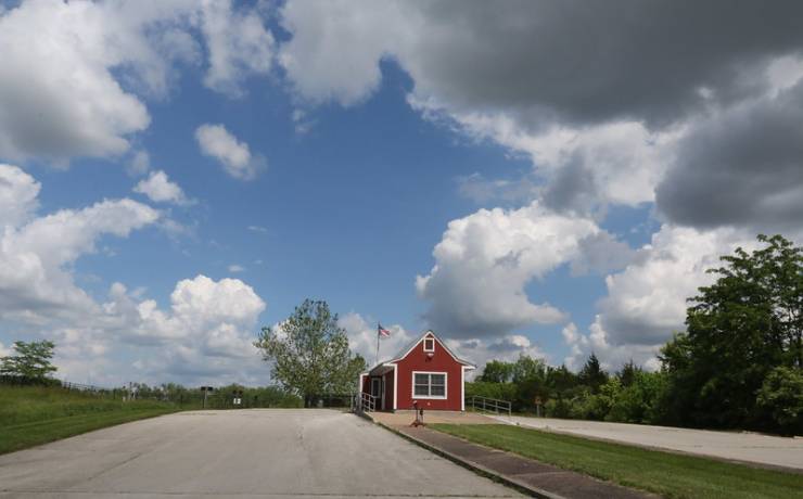
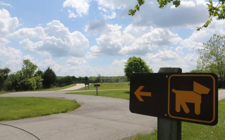
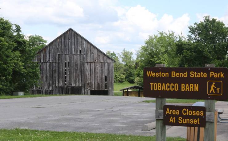
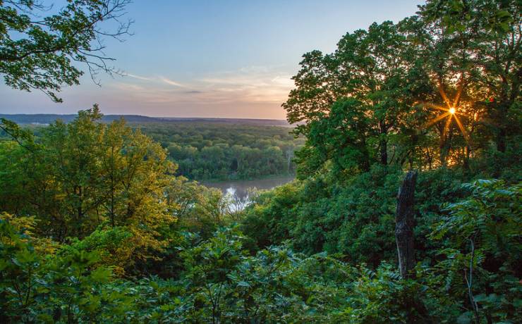
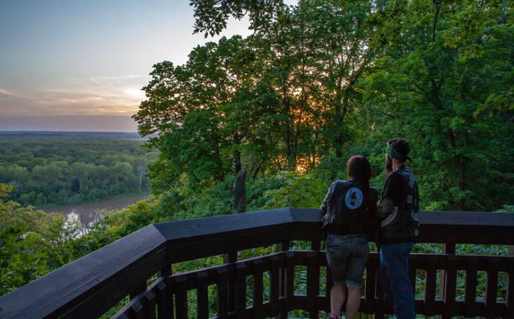
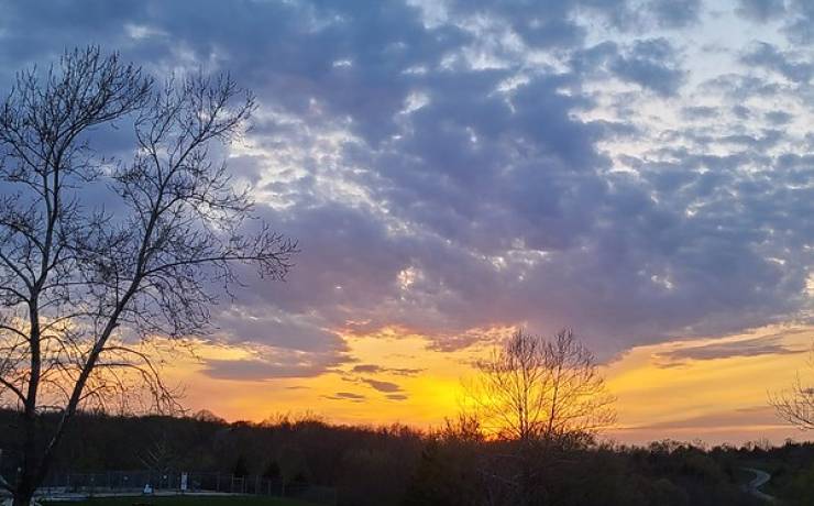
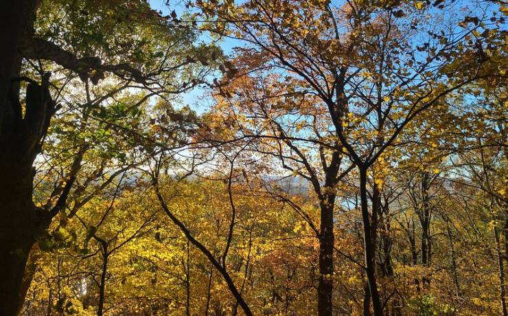
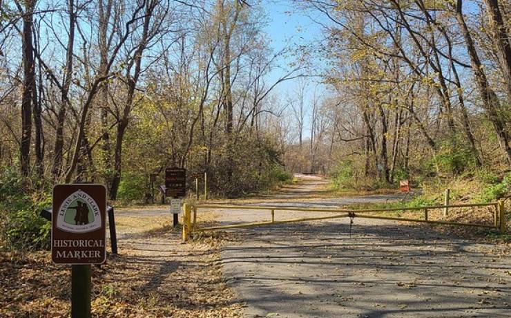
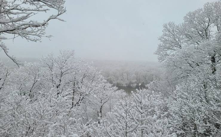
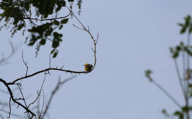
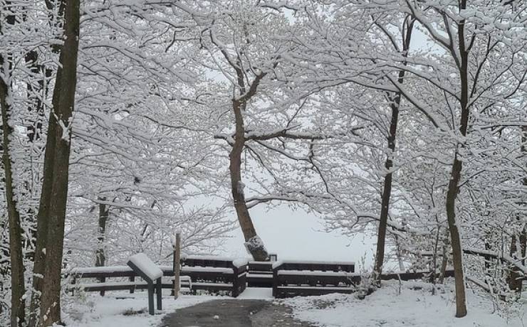
[Skip all navigation]

DNR Home PageDNR Home Page | Locator Map | Resource Center | FAQ | Events | Directory | Search

Weston Bend State Park
816-640-5443

Park Map

Platte County.

16600 Hwy. 45 N, Weston, MO 64098
816-640-5443
Take Exit 20 off I-29 to Hwy. 273 to Hwy. 45, Platte County

Map of Weston Bend State Park
How to get to Weston Bend State Park
Places to visit nearby

Map of Weston Bend State Park

Map of Weston Bend State Park.


Directions to Weston Bend State Park

From Kansas City/St. Joseph
Take I-29 to Exit 20 (Weston/Leavenworth and Atchison, KS). Take Hwy. 273 toward Weston. At the intersection of Hwy. 273 and Hwy. 45, turn south/left. The state park entrance is one half mile on the right/west side.

Locator map to Weston Bend State Park.

Places to Visit Nearby

Lewis and Clark State Park, Rushville -- directions
Watkins Woolen Mill State Park and State Historic Site, Lawson -- directions
Wallace State Park, Cameron -- directions
Guy B. Park Conservation Area, north on Hwy. 371
Kansas City area attractions
Platte Falls Wildlife Area, near Platte City
Smithville Lake, Smithville