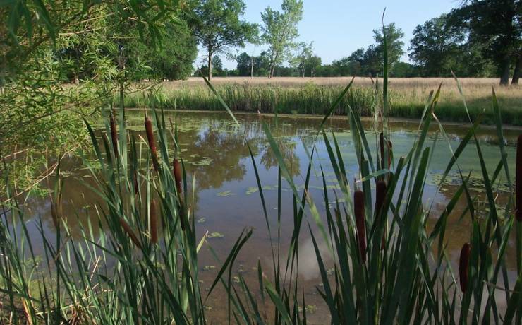
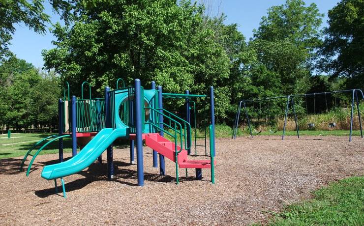
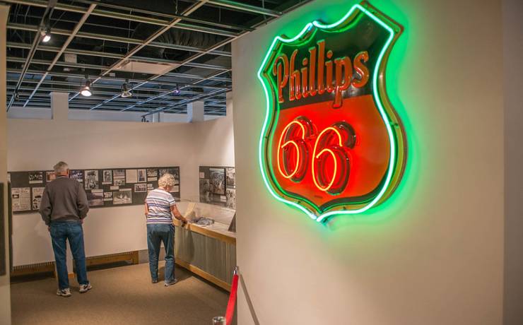
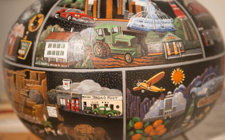
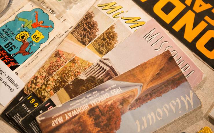
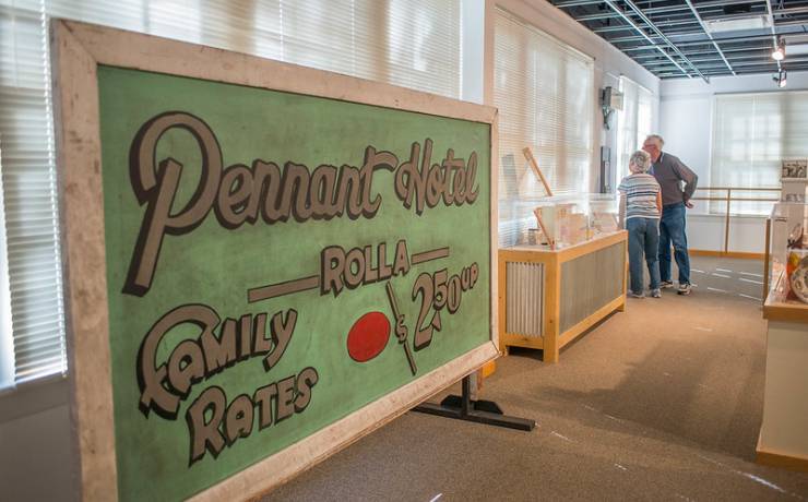
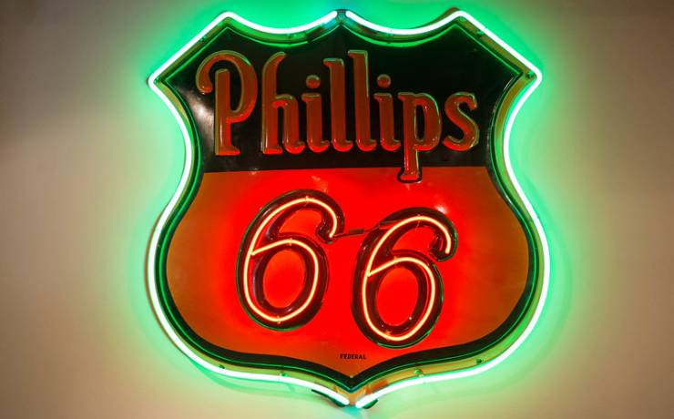
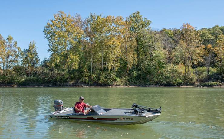
[Skip all navigation]

DNR Home PageDNR Home Page | Locator Map | Resource Center | FAQ | Events | Directory | Search

Route 66 State Park
636-938-7198

Park Map

St. Louis County.

97 North Outer Road, Suite 1, Eureka, MO 63025
636-938-7198
Located two miles east of Eureka off I-44 at Lewis Road (Exit 266),
St. Louis County

Map of Route 66 State Park
How to get to Route 66 State Park
Places to visit nearby

Map of Route 66 State Park

Map of Route 66 State Park.


Directions to Route 66 State Park

From downtown St. Louis
Route 66 State Park is approximately 26 miles from downtown St. Louis. Take I-55 south to I-44 west. From I-44 west take Exit 266/Lewis Road; follow the road to the right and then curve to the left. Continue past the West Tyson County Park entrance to the stop sign at Lewis Road. After crossing Lewis Road, you will see the visitor center on the left. By continuing across the bridge, you will enter the park grounds.

From I-70 and I-270
Route 66 State Park is approximately 25 miles from I-70/I-270. Travel south on I-270 to I-44 west. From I-44 west take Exit 266/Lewis Road; follow the road to the right and then curve to the left. Continue past the West Tyson County Park entrance to the stop sign at Lewis Road. After crossing Lewis Road, you will see the visitor center on the left. By continuing across the bridge, you will enter the park grounds.

From I-55 and I-270/I-255
Route 66 State Park is approximately 16 miles from I-55. Travel north on I-270 to I-44 west. From I-44 west take Exit 266/Lewis Road; follow the road to the right and then curve to the left. Continue past the West Tyson County Park entrance to the stop sign at Lewis Road. After crossing Lewis Road, you will see the visitor center on the left. By continuing across the bridge, you will enter the park grounds.

From Jefferson City
Route 66 State Park is approximately 120 miles from Jefferson City. Travel east on U.S. Hwy. 50 past Union to I-44. Take I-44 east to Exit 266/Lewis Road; take a left after exiting and cross the highway overpass. Stay on the outer road which will curve to the left. Continue past the West Tyson County Park entrance to the stop sign at Lewis Road. After crossing Lewis Road, you will see the visitor center on the left. By continuing across the bridge, you will enter the park grounds.

From Kansas City
Route 66 State Park is approximately 265 miles from Kansas City. Travel east on I-70, crossing the Missouri River at St. Charles. Take I-270 south and continue to I-44. Travel west on I-44 to Exit 266/Lewis Road; follow the road to the right and then curve to the left. Continue past the West Tyson County Park entrance to the stop sign at Lewis Road. After crossing Lewis Road, you will see the visitor center on the left. By continuing across the bridge, you will enter the park grounds.

From Springfield, Mo.
Route 66 State Park is approximately 190 miles from Springfield, Mo. Travel east on I-44 to Exit 266/Lewis Road. After exiting, turn left and cross the highway overpass. Stay on the outer road which will curve to the left. Continue past the West Tyson County Park entrance to the stop sign at Lewis Road. After crossing Lewis Road, you will see the visitor center on the left. By continuing across the bridge, you will enter the park grounds.

Location map for Route 66 State Park.


Places to visit nearby

Castlewood State Park, Ballwin -- directions
Dr. Edmund A. Babler Memorial State Park, Wildwood -- directions
Robertsville State Park, Robertsville -- directions
Mastodon State Historic Site, Imperial -- directions