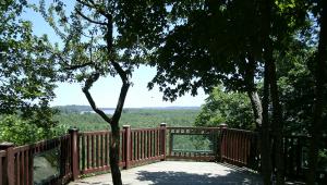
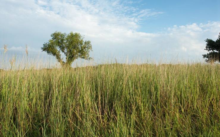
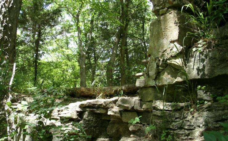
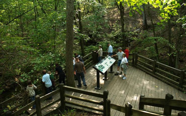
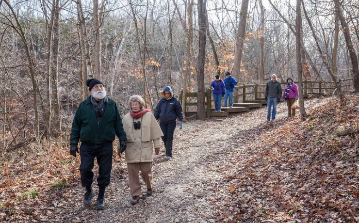
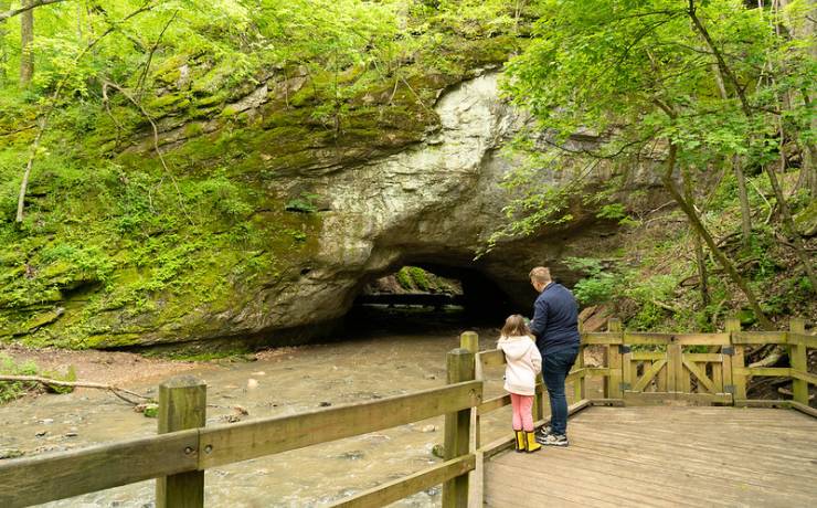
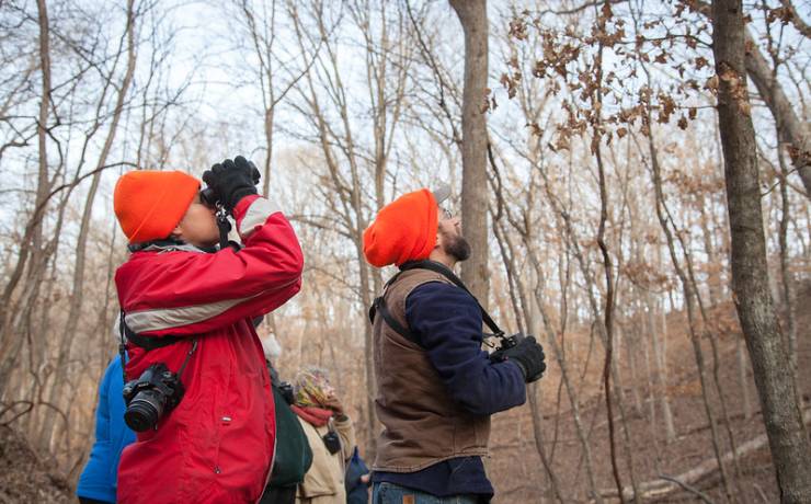
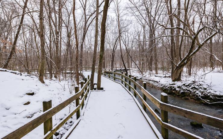
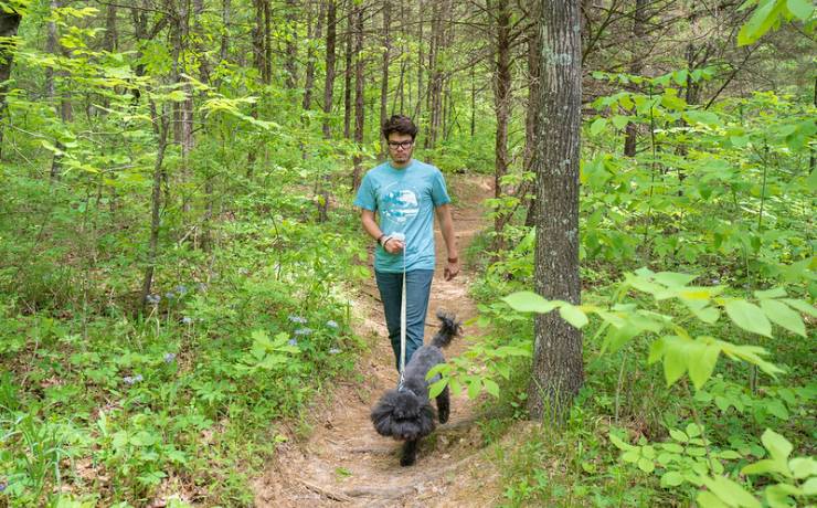
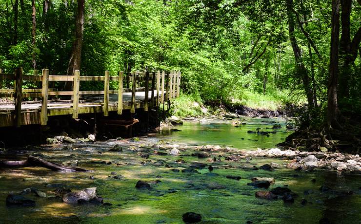
[Skip all navigation]

DNR Home PageDNR Home Page | Locator Map | Resource Center | FAQ | Events | Directory | Search

Rock Bridge Memorial State Park
573-449-7402

Park Map

Boone County.

5901 South Hwy. 163, Columbia, MO 65203
573-449-7402, 573-442-2249 (trail conditions)
5 miles south of downtown Columbia on Hwy. 163, Boone County

Map of Rock Bridge Memorial SP
How to get to Rock Bridge Memorial SP
Places to visit nearby

Map of Rock Bridge Memorial State Park

Map of Rock Bridge Memorial State Park.


Directions to Rock Bridge Memorial State Park

From St. Louis/Kansas City
Rock Bridge Memorial State Park is approximately 130 miles and two and one-half hours from Kansas City and St. Louis. From either location, take I-70 to Columbia, Exit 126 (Providence Rd./Downtown). Go south through Columbia on Providence Rd./Hwy. 163 approximately six miles. (About one mile south of Stadium Blvd. and just before Green Meadows Blvd. will be Jewell Cemetery State Historic Site on the right at the top of the hill.) At Southampton Rd., Hwy. 163 narrows to two lanes.  At the next traffic light (intersection of Rt. K, Old Plank Rd. and Hwy. 163), turn left to stay on Hwy. 163. To reach Gilbert Shelter, playground, picnic areas or the Wild Cave Tour staging area:  travel on Hwy. 163 one mile and turn right into the main park entrance. Follow the road as it curves left; service buildings will be on your right in the first loop.  The playground is in the second loop, the shelter in the third loop and the staging area just past the third loop near Hickam Log Cabin.  To reach the park office:  travel on Hwy. 163 about 800 feet past the main park entrance and turn right into the next driveway.  To reach the Devil's Icebox parking lot or Rockbridge Mills Shelter:  travel on Hwy. 163 one mile past the main park entrance and turn right at the bottom of the hill.  Trailhead locations can be viewed on the park map above.

From Jefferson City/Rolla
Rock Bridge Memorial State Park is about 40 minutes from Jefferson City and one and one-half hours from Rolla. From either location, take U.S. Hwy. 63 north. Approximately six miles north of Ashland, turn left/west onto Hwy. 163 toward Pierpont. Travel three miles, passing the Shooting Star and Karst trailheads, to a four-way stop (Rt. N and Hwy. 163). Turn right to stay on Hwy. 163. To reach the Devil's Icebox parking lot or Rockbridge Mills Shelter:  Travel one mile and turn left into the park entrance at the bottom of the hill.  To reach the park office:  travel northwest on Hwy. 163 about 9/10 of a mile past the Devil's Icebox parking lot and turn left into the next driveway.  To reach Gilbert Shelter, playground, picnic areas or the Wild Cave Tour staging area:  travel northwest on Hwy. 163 about 800 feet past the park office and turn left into the main park entrance at the top of the hill. Follow the road as it curves left; service buildings will be on your right in the first loop.  The playground is in the second loop, the shelter in the third loop and the staging area just past the third loop near Hickam Log Cabin. Trailhead locations can be viewed on the park map above. (Continue to Jewell Cemetery State Historic Site....)

From North of I-70/Macon/Kirksville
From either location, take U.S. Hwy. 63 south to Columbia and take the Grindstone Parkway/Rt. AC exit. Turn right onto Rt. AC/Grindstone Parkway and go west approximately two miles to Hwy. 163/Providence Rd.; turn left onto Providence Rd./Hwy. 163.  At Southampton Rd., Hwy. 163 narrows to two lanes.  At the next traffic light (intersection of Rt. K, Old Plank Rd. and Hwy. 163), turn left to stay on Hwy. 163. To reach Gilbert Shelter, playground, picnic areas or the Wild Cave Tour staging area:  travel on Hwy. 163 one mile and turn right into the main park entrance. Follow the road as it curves left; service buildings will be on your right in the first loop.  The playground is in the second loop, the shelter in the third loop and the staging area just past the third loop near Hickam Log Cabin.  To reach the park office:  travel on Hwy. 163 about 800 feet past the main park entrance and turn right into the next driveway.  To reach the Devil's Icebox parking lot or Rockbridge Mills Shelter:  travel on Hwy. 163 one mile past the main park entrance and turn right at the bottom of the hill.  Trailhead locations can be viewed on the park map above. (Continue to Jewell Cemetery State Historic Site....)

From Jewell Cemetery State Historic Site
Rock Bridge Memorial State Park is approximately two miles southeast of Jewell Cemetery State Historic Site.  Travel south on Hwy. 163 from the historic site. At Southampton Rd., Hwy. 163 narrows to two lanes.  At the next traffic light (intersection of Rt. K, Old Plank Rd. and Hwy 163), turn left to stay on Hwy. 163. To reach Gilbert Shelter, playground, picnic areas or the Wild Cave Tour staging area:  travel on Hwy. 163 one mile and turn right into the main park entrance. Follow the road as it curves left; service buildings will be on your right in the first loop.  The playground is in the second loop, the shelter in the third loop and the staging area just past the third loop near Hickam Log Cabin.  To reach the park office:  travel on Hwy. 163 about 800 feet past the main park entrance and turn right into the next driveway.  To reach the Devil's Icebox parking lot or Rockbridge Mills Shelter:  travel on Hwy. 163 one mile past the main park entrance and turn right at the bottom of the hill.  Trailhead locations can be viewed on the park map above.

Locator map to Rock Bridge Memorial State Park.

Places to visit nearby

Jewell Cemetery State Historic Site, Columbia -- directions
Finger Lakes State Park, Columbia -- directions