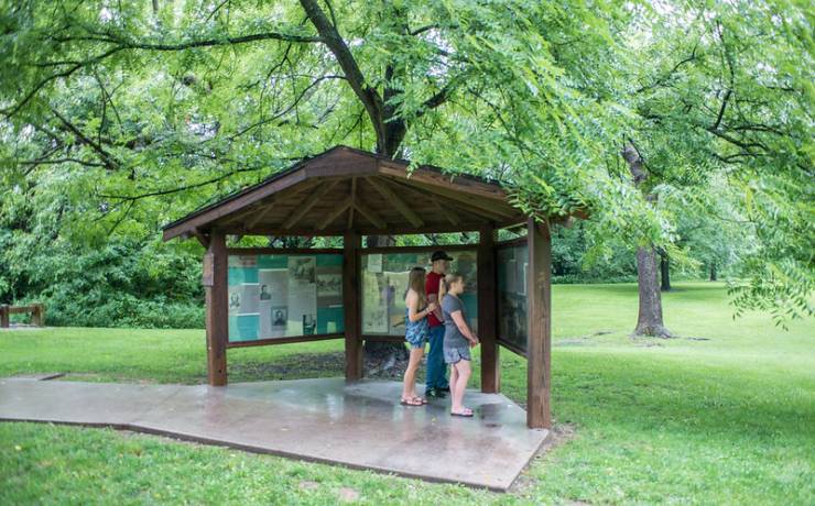
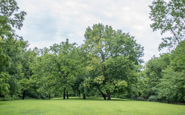
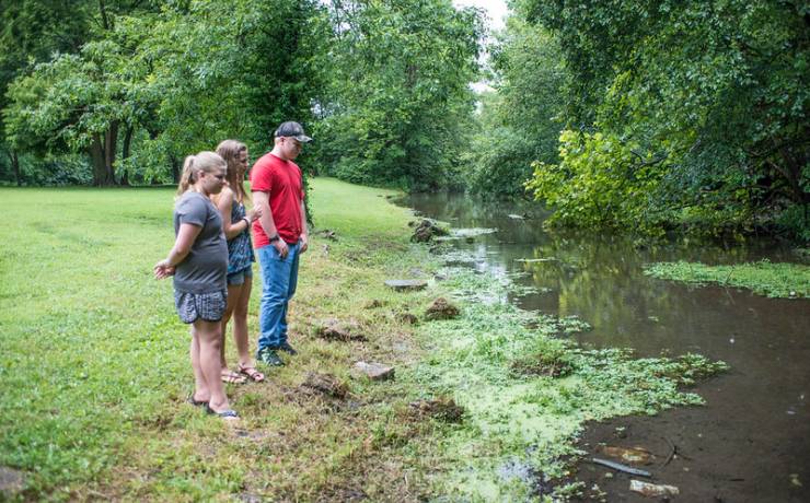
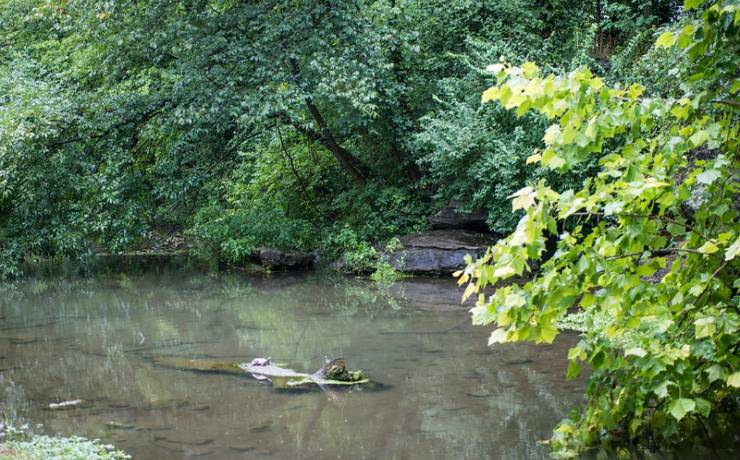
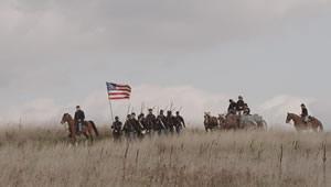
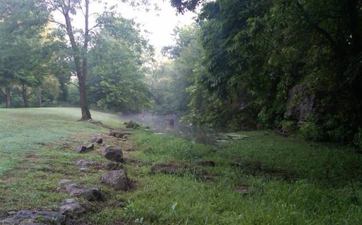
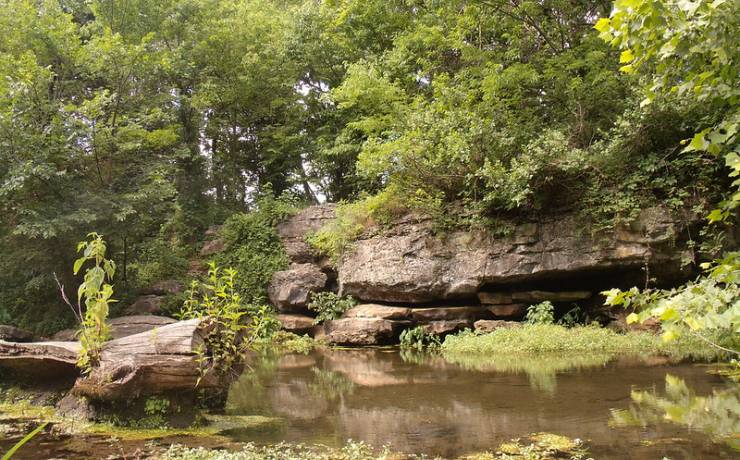
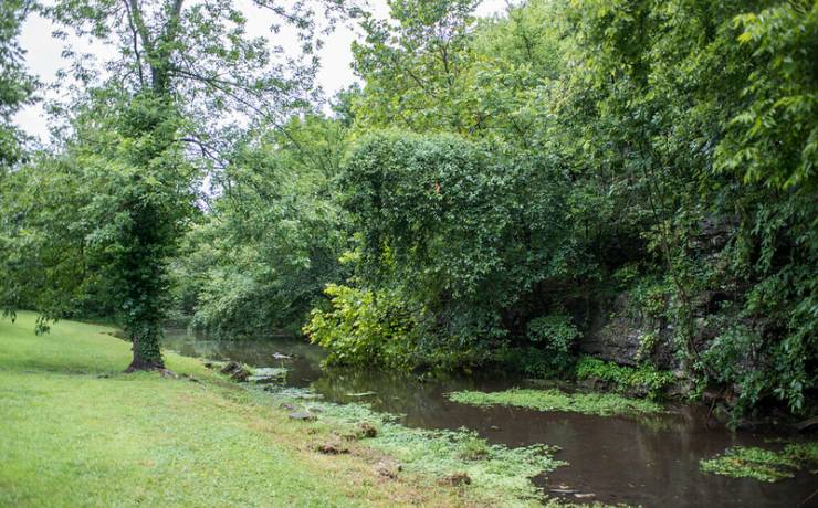
[Skip all navigation]

DNR Home PageDNR Home Page | Locator Map | Resource Center | FAQ |Events | Directory | Search

Battle of Carthage State Historic Site
417-682-2279

Battle of Carthage State Historic Site.

At a glance...

Chestnut Street
Carthage, MO

417-682-2279

Contact:  Harry S Truman Birthplace State Historic Site
Acreage: 7.4
Year Acquired: 1990


Preceding the Battle of Bull Run by 11 days, the Battle of Carthage, fought on July 5, 1861, was one of the earliest engagements in the Civil War. Battle of Carthage State Historic Site is the location of one of the last skirmishes of the battle, and the campsite for both armies -- the Union troops the night before the battle and the Confederate troops the night following the battle.

The battle itself was a mobile engagement that was spread out over a distance of 10 miles. Col. Franz Sigel and his army of 1,100 well-drilled, fully armed men were sent to southeast Missouri to stop Gov. Claiborne Jackson's army of 4,000 armed and 2,000 unarmed soldiers from banding up with Confederate troops in nearby Arkansas. On July 5, the troops met about nine miles north of Carthage and the skirmishes began. The most severe fighting took place at crossings of Dry Fork Creek, Buck Branch and Spring River. After the smoke cleared and the sun set, the Confederate Missouri State Guard was victorious, however, the Union troops skillfully escaped a superior force with minimal losses.

Battle of Carthage State Historic Site encompasses the Carter Spring area, which remains little changed from its 1861 appearance. The site interprets this historic battle through an informational kiosk.

Click for Carthage, Missouri Forecast