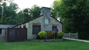


Park Information
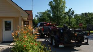
ORV permits sold online can be bought online for up to three days of riding. Riders can purchase their ORV permit before arriving at the park. Permits are nonrefundable and nontransferable. After purchasing an online permit for the specific park and vehicle type you select, you will receive a confirmation email that includes your receipt and permit. Simply present the permit, in paper or electronic form, at the window upon arrival at the park. Please be sure to read all of the information included in your confirmation letter and permit prior to arrival and bring along the appropriate riding gear. Riders must carry the permit with them at all times when operating the ORV.
ORV permits are also available at the ORV contact station upon arrival.


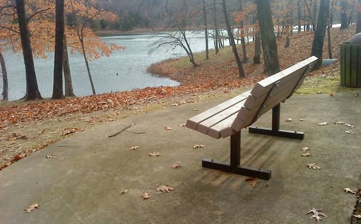
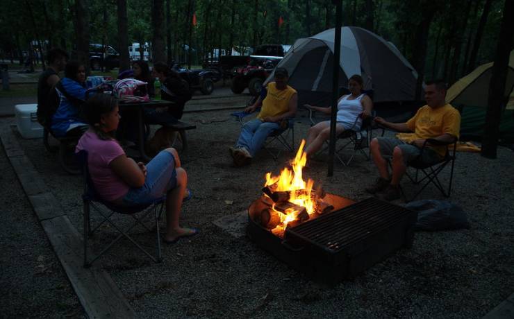
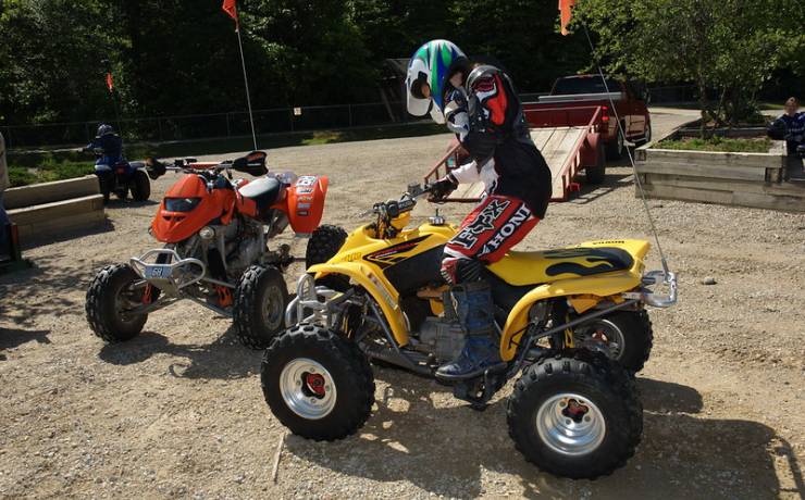
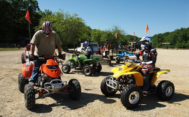
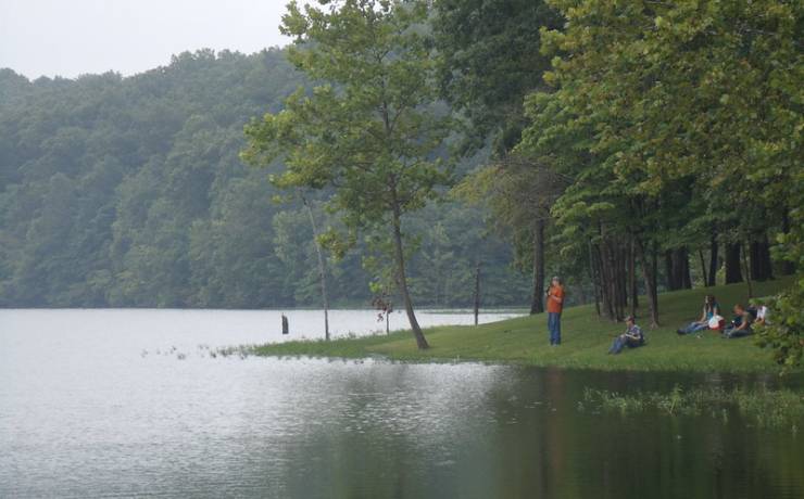
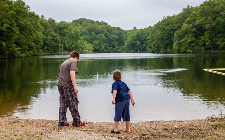
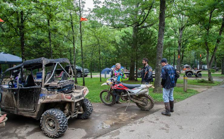
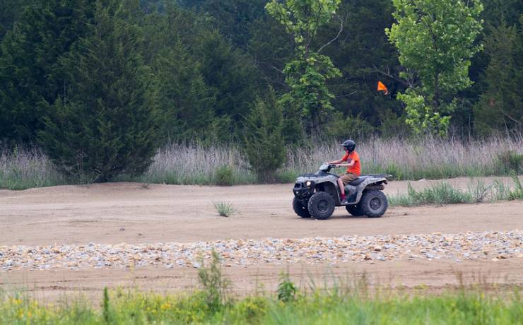
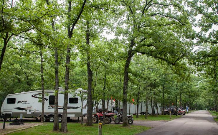
The roar of engines breaks the stillness of the Old Lead Belt at St. Joe State Park, one of two off-road vehicle parks in the state park system. The many trails set aside for off-road vehicle use make the park the premiere off-road vehicle area. The park also features four lakes, two swimming beaches, equestrian trails, hiking and bicycling trails, a water trail, and picnic sites, as well as two campgrounds capable of accommodating campers with ORV or horse trailers.
The ORV area can also be accessed from the Donnelly-LaMear Trailhead, conveniently located right off Highway 67 at the Fairgrounds Drive exit. It is open Thursday through Sunday 7 a.m. to 8 p.m. and 7 a.m. to 5 p.m. November through March. The area has ample parking and restrooms. Online permits are required to use this entrance into the ORV area, but there is also access to the paved bicycle trail. For more information on the Donnellly-LaMear Trailhead, visit the Park Hills website.