


Know Before You Go

New to Missouri State Parks?

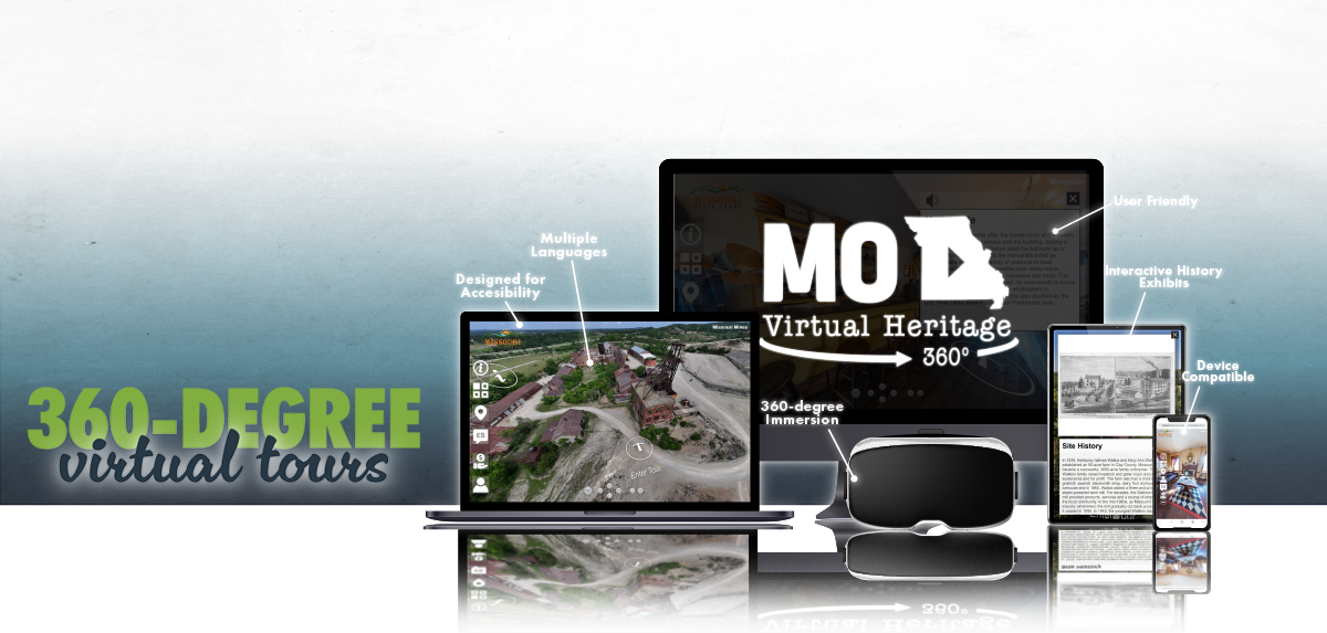
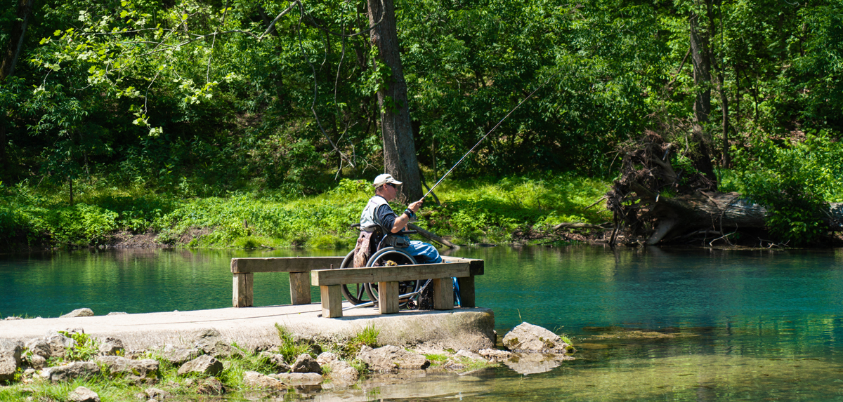
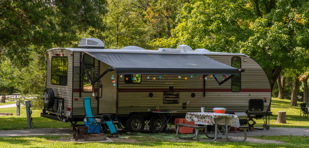
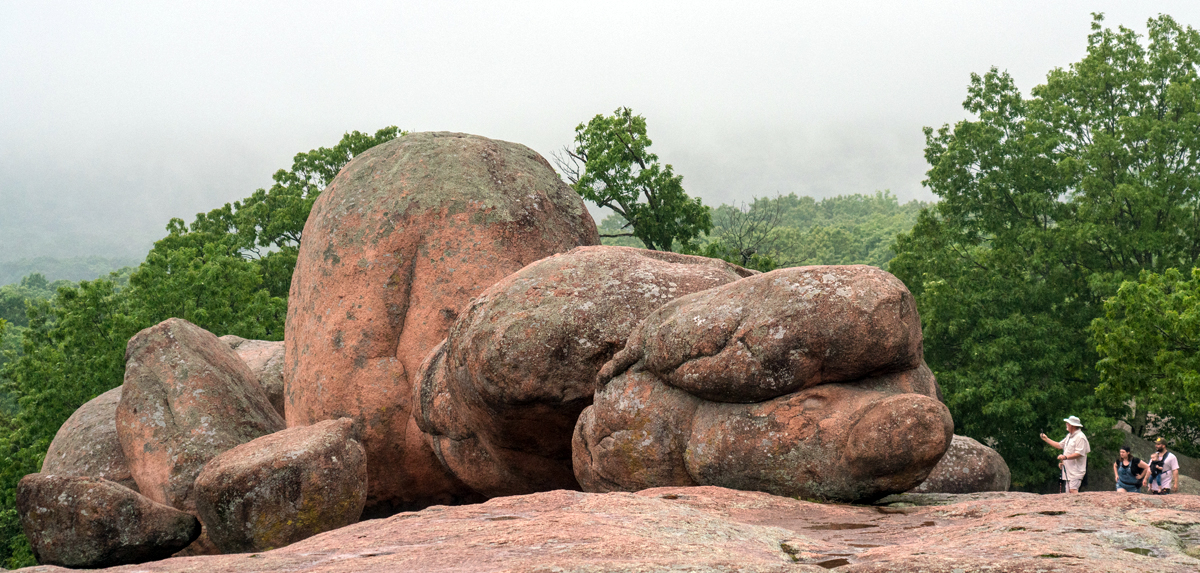
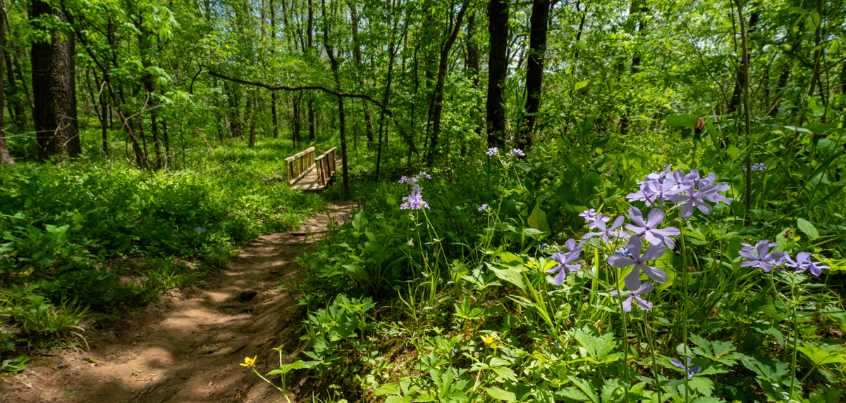
Plan your next adventure at one of our 57 state parks or 36 historic sites. Below, we have a few helpful links and resources that will guide you in Making Missouri Memories. From special events to trails, and RV camping to rugged backpack camping, your adventure awaits.
Read more…Customer Rewards Program
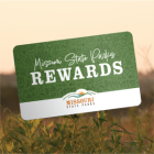
Enroll in the Customer Rewards Program at a Missouri State Parks location or when speaking with the call center team, or update your online customer account at icampmo.com.
Read more…


