Park Hours
For temporary closures related to weather, stewardship activities and maintenance, as well as temporary trail closures, click here to visit our Park and Site Status Map.
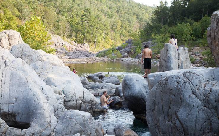
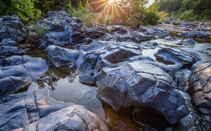
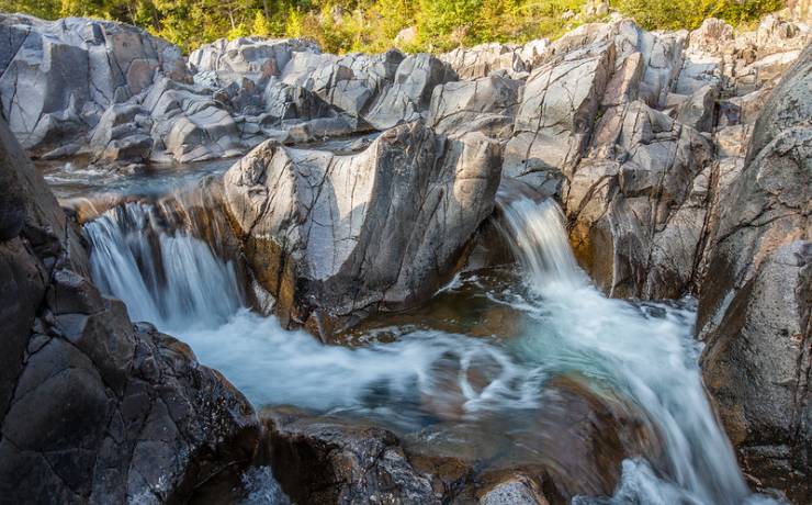
Valley Day-Use Area
The main park gates open and close at these times.
- March 1 through the Wednesday before Memorial Day
8 a.m. to 6 p.m., daily
- Thursday before Memorial Day through Labor Day
8 a.m. to 8 p.m., daily
- Day after Labor Day through Oct. 31
8 a.m. to 6 p.m., daily
- November through February
8 a.m. to 4 p.m., daily
Park Office hours
8 a.m. to 4 p.m., Monday through Friday
Closed Saturday and Sunday
Visitor Center - Black River Center hours
April through October (on-season)
- April
10 a.m. to 4 p.m., Saturday and Sunday
- May through Wednesday before Memorial Day
10 a.m. to 4 p.m., Wednesday through Sunday
- Thursday before Memorial Day through Labor Day
10 a.m. to 5 p.m., Wednesday through Sunday
- Tuesday after Labor Day through September
10 a.m. to 4 p.m., Wednesday through Sunday
- October
10 a.m. to 4 p.m., Saturday and Sunday
November through March (off-season)
Gatehouse - Day-Use Area hours
Thursday before Memorial Day through Labor Day
Hours determined by park superintendent