


Park Information
The park needs your help in removing invasive species. Call the naturalist at 417-532-3925 to learn more.
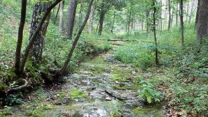
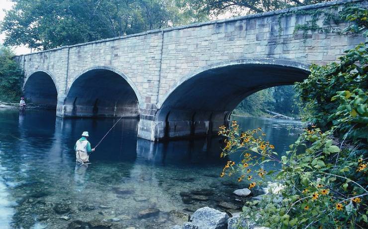
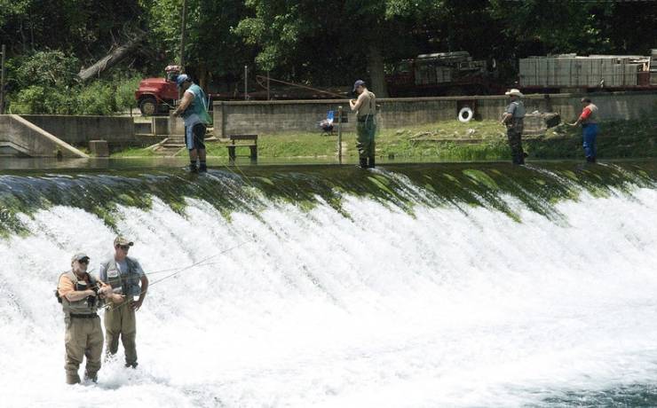
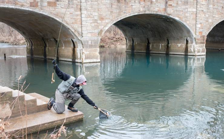
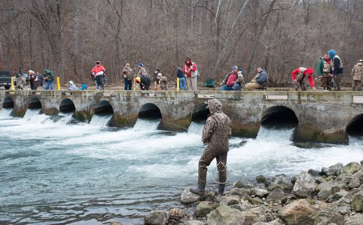
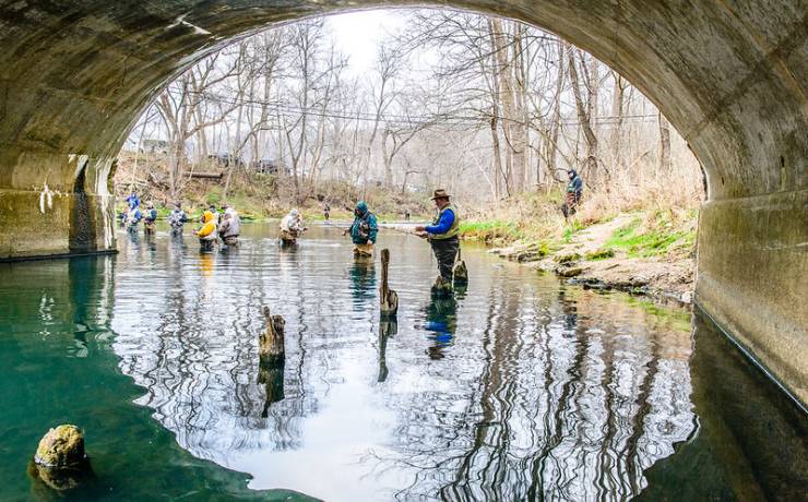
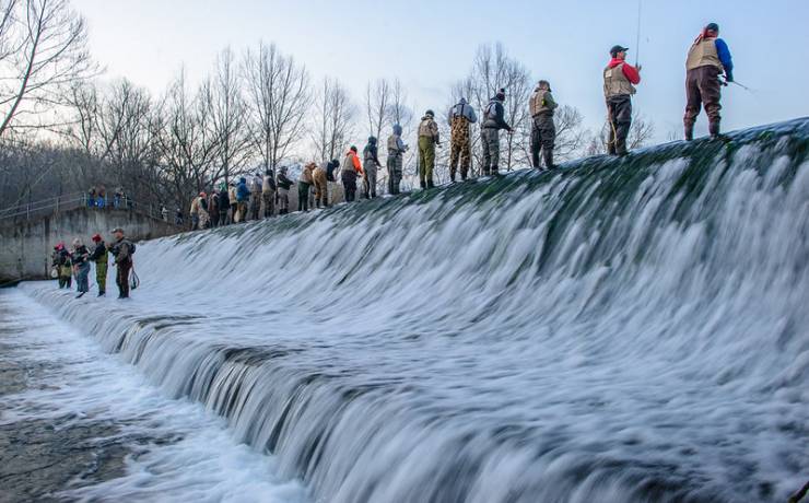
The valley that cradles Bennett Spring has created a place of peace and recreation that has welcomed generations of enthusiastic anglers. Bennett Spring State Park is one of Missouri’s earliest state parks and continues today to attract fishermen and nature lovers seeking to make new memories.
More than 100 million gallons of clear, cool water gush from Bennett Spring each day and form a spring branch stocked daily with rainbow trout waiting for lucky fishermen. Fishing may be the main draw, but the park also offers many other amenities such as a dining lodge, campgrounds, cabins and hiking trails. Whether you are a traditional fishing enthusiast or someone seeking a place to relax and refresh, Bennett Spring State Park has what you need to make every trip one to remember.