


Park Information
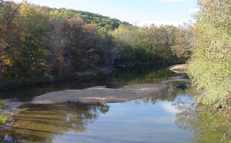
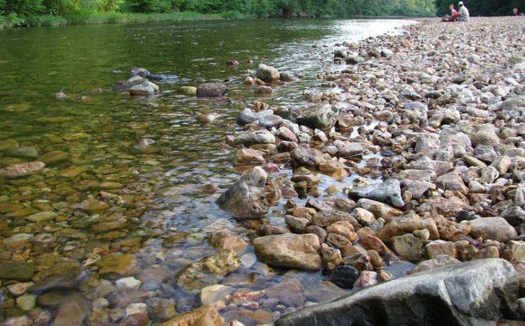
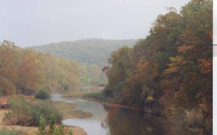
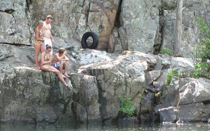
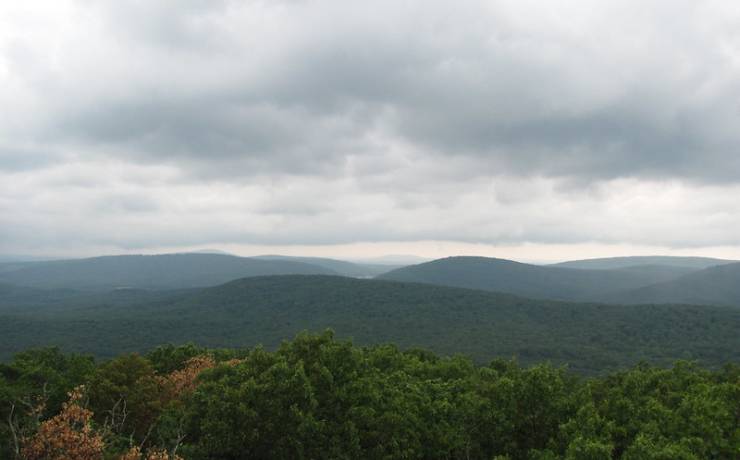
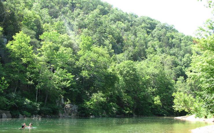
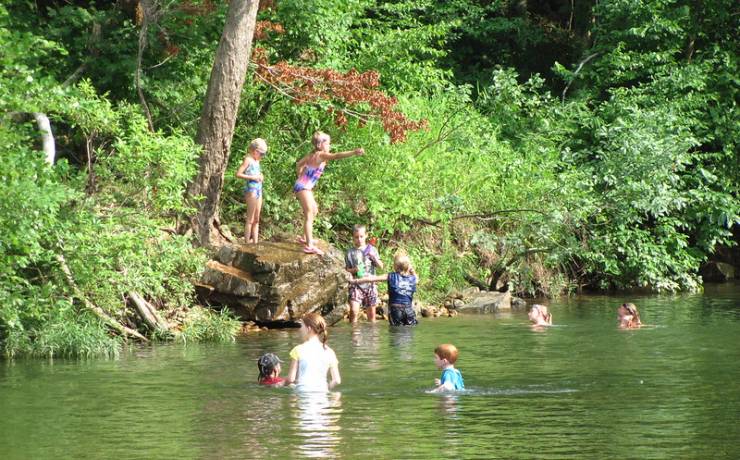
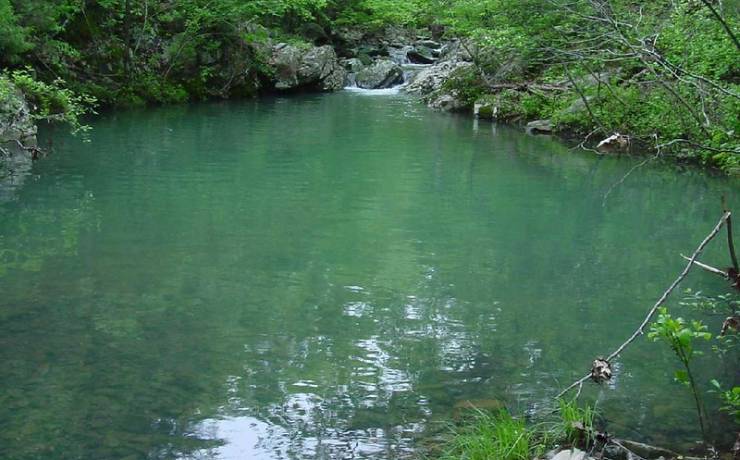
With the ancient St. Francois Mountains, the unspoiled natural landscape and the cool waters of the St. Francis River and Big Creek, Sam A. Baker State Park has something for everyone.
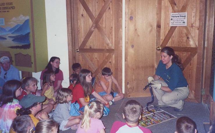
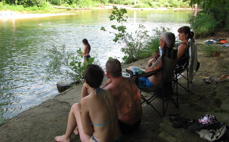
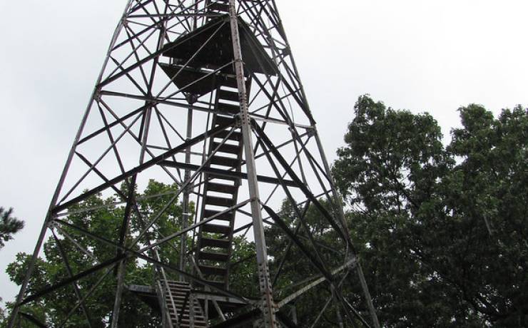
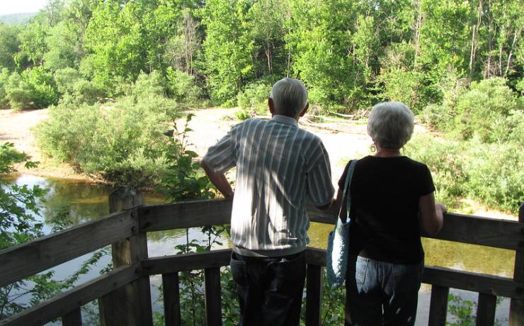
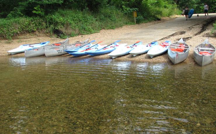
Access to both the river and creek gives anglers the opportunity to hook many varieties of fish and canoeists the chance to float year-round. Several miles of hiking, backpacking, bicycling and equestrian trails provide glimpses of the area as the earlier settlers found it. Exhibits in the park’s nature center interpret the natural and cultural history of the park.
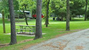
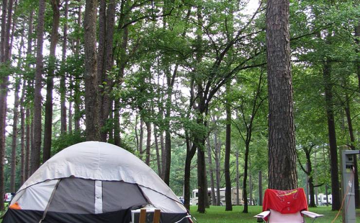
Visitors can spend the night in either a rustic cabin or one of two large campgrounds. For horse lovers, there is a separate equestrian camp. Shaded picnic areas are available for small and large groups.
At Sam A. Baker State Park, the possibilities are endless and the choice is all yours.