


Park Information
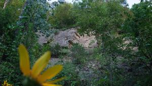
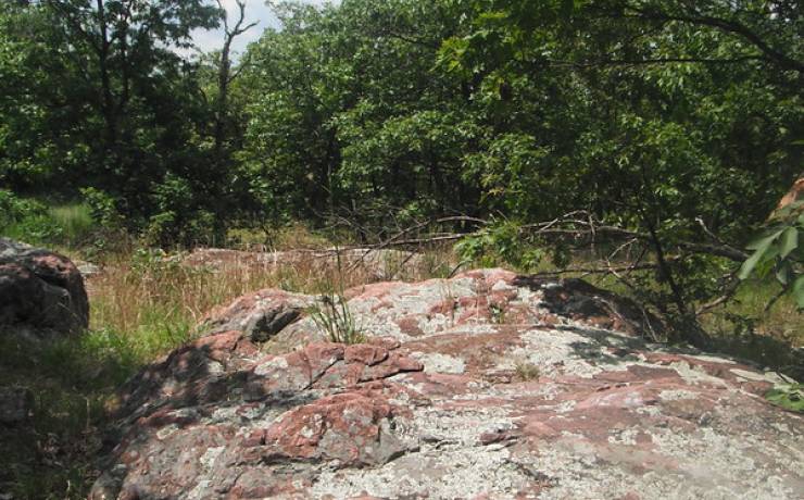
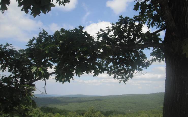
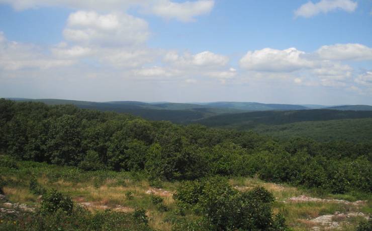
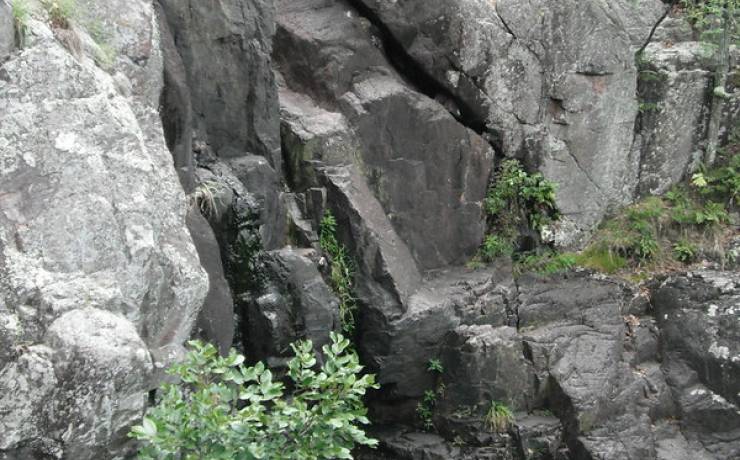
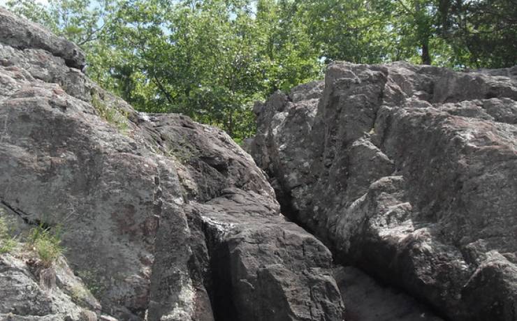
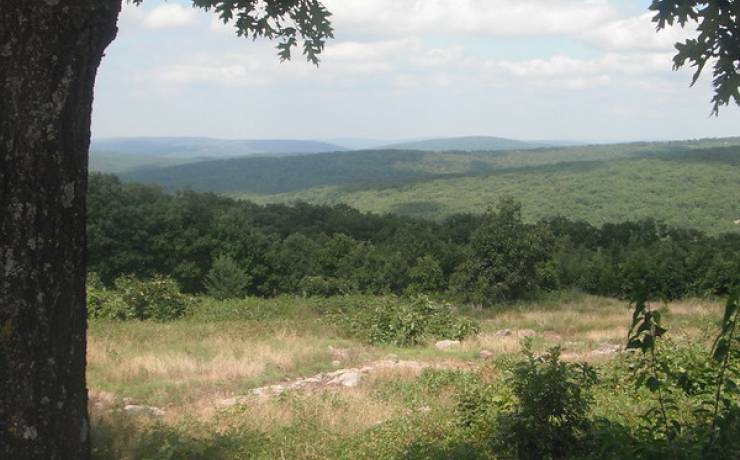
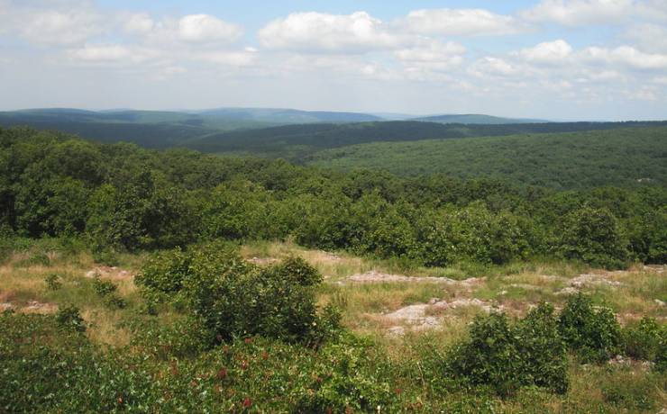
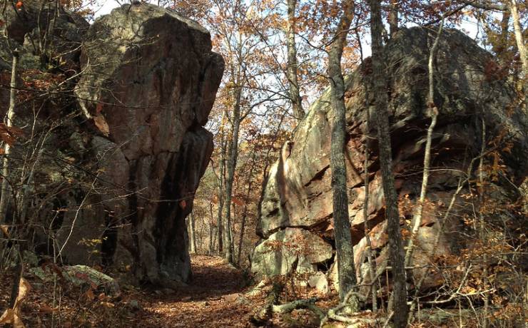
Climb to the top of Taum Sauk Mountain State Park and be on top of Missouri – literally. The park’s 7,500 acres include the highest point in the state. Located in the St. Francois Mountains, the park's wooded areas and rocky glades provide a beautiful, solitary experience for hikers. A series of trails, including a portion of the Ozark Trail, wind through the park’s picturesque setting and provide awesome views of the surrounding countryside. The park also has a 12-site basic campground, a special-use area for group camping, and a picnic area.