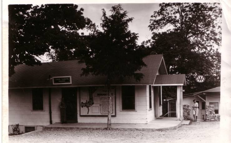
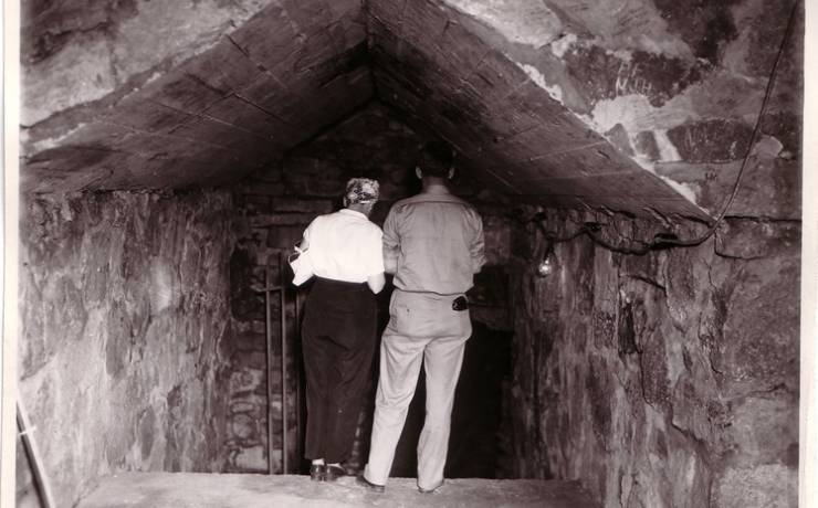
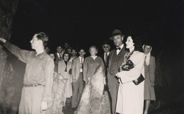
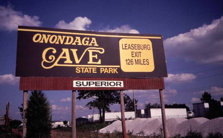
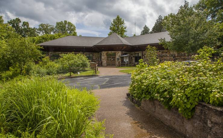
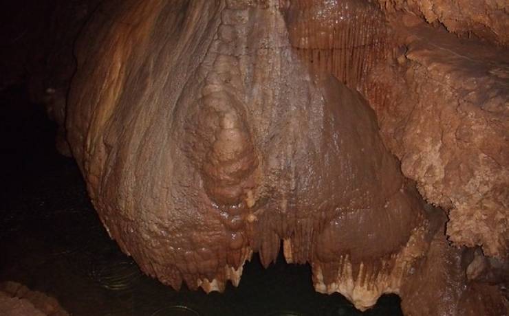
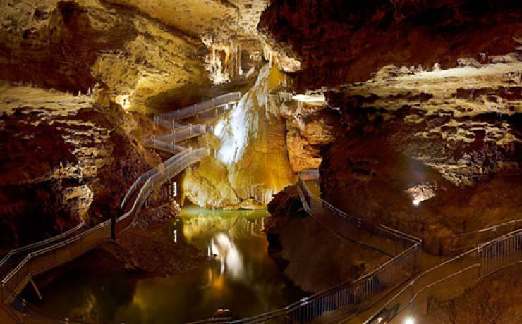
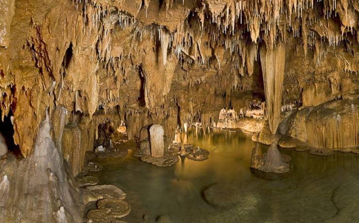
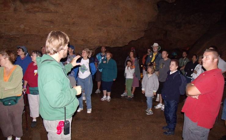
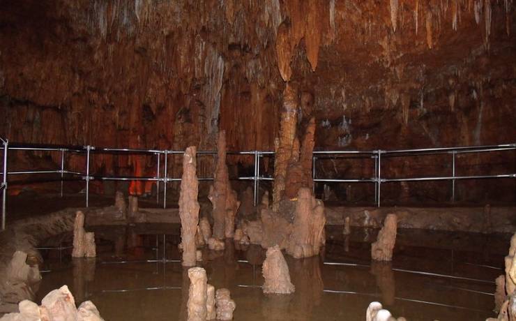
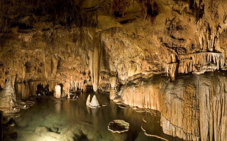
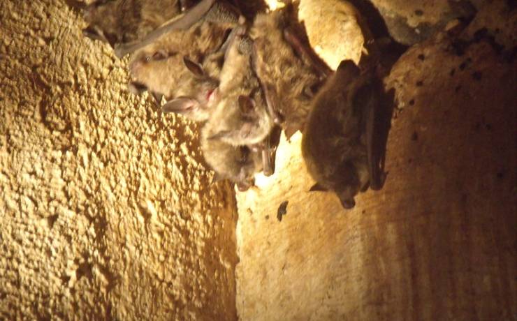
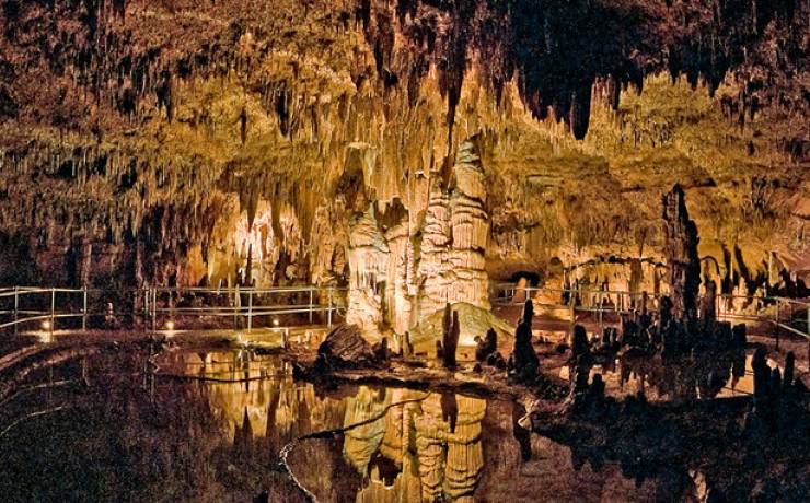
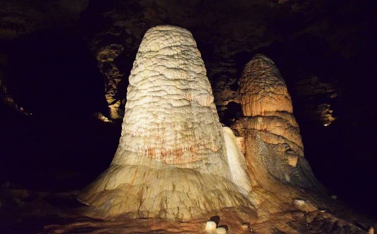
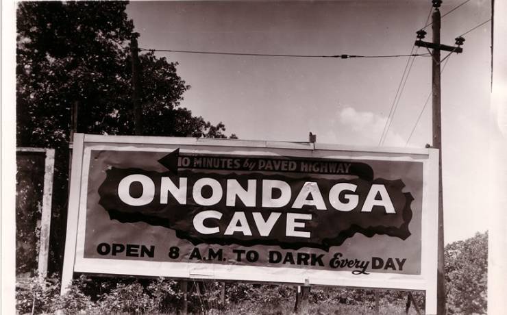
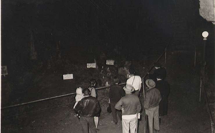
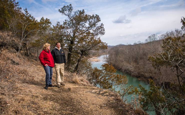
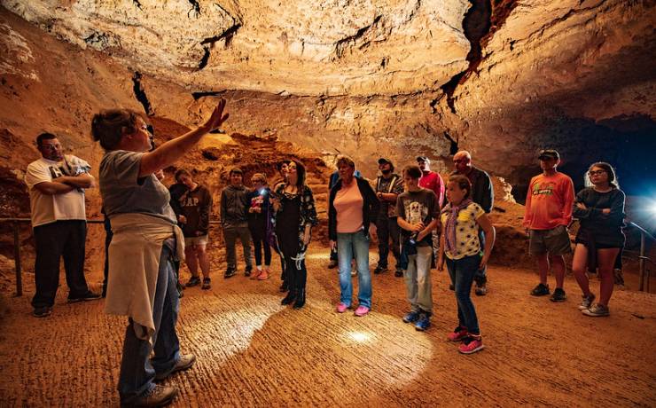
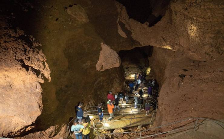
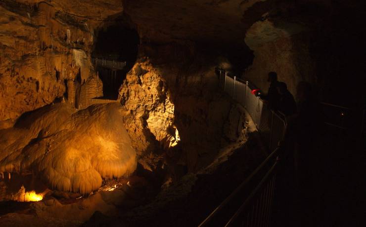
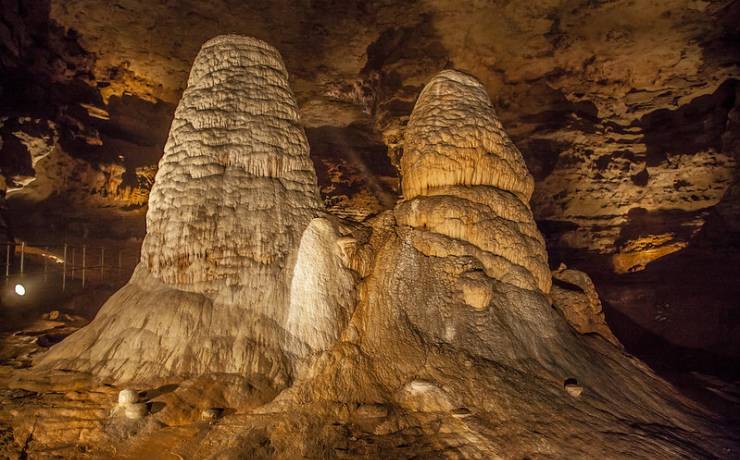
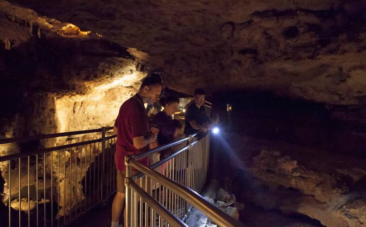
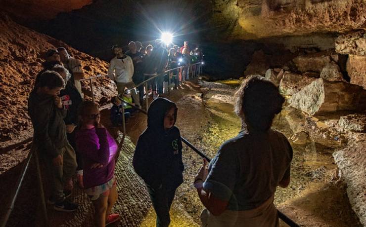
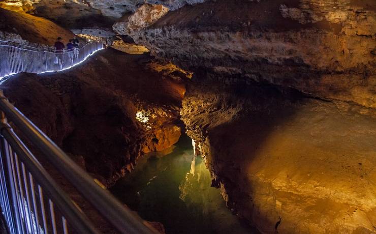
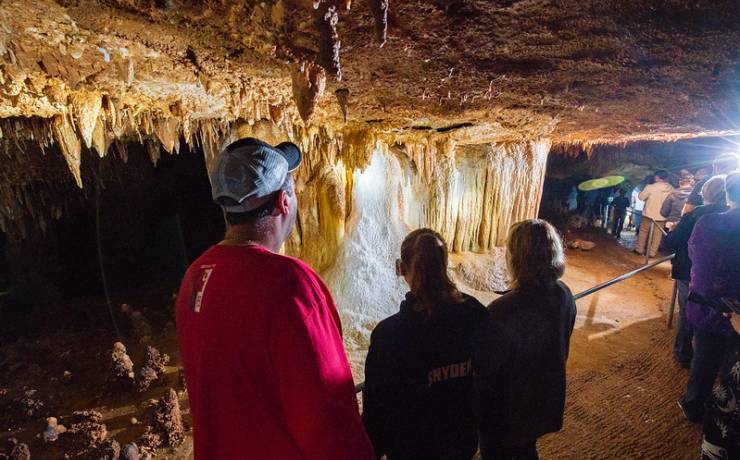
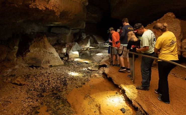
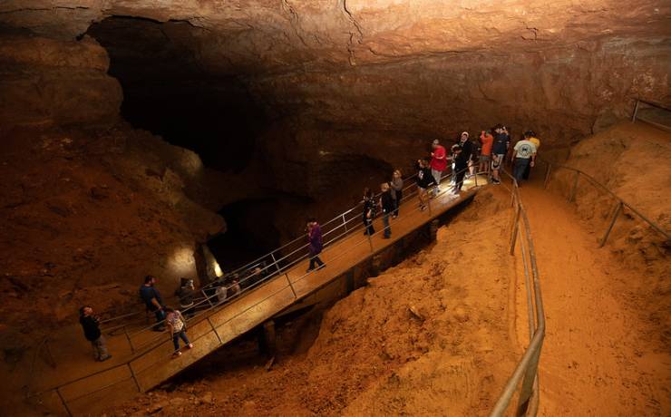
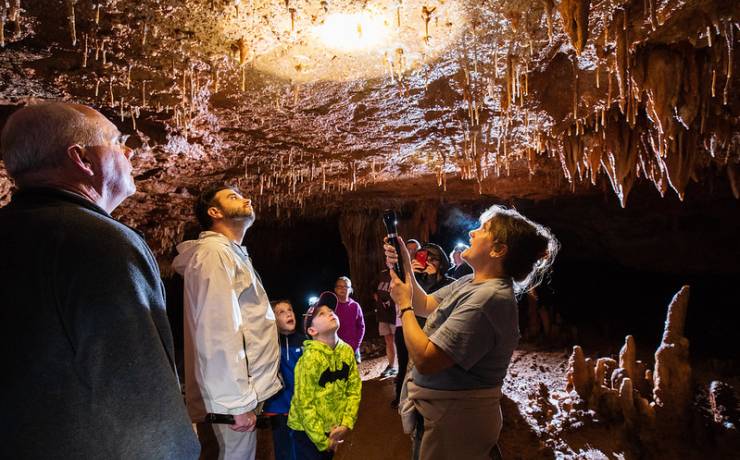
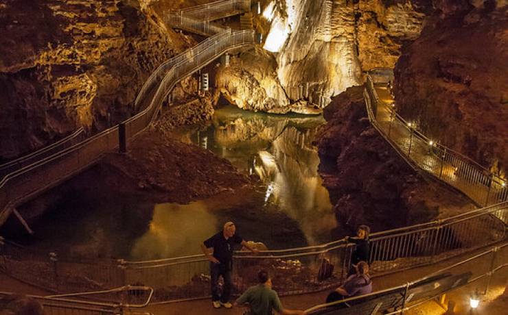
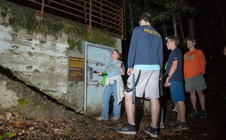
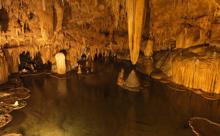
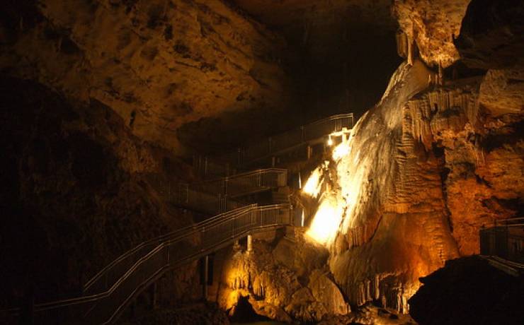
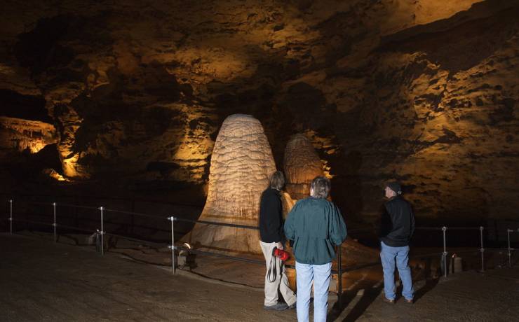
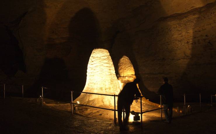
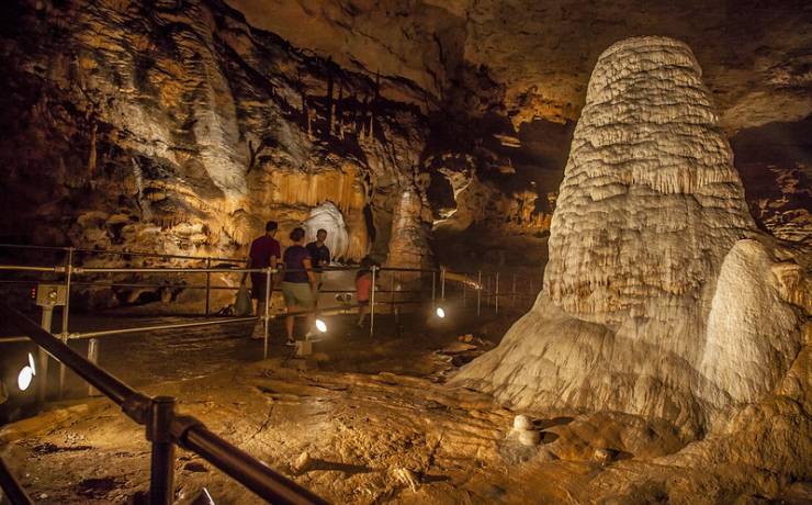
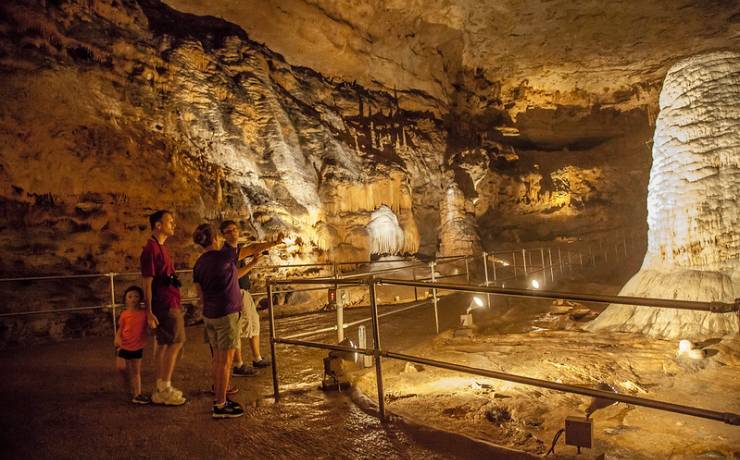
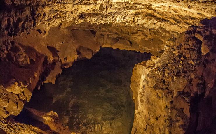
[Skip all navigation]

DNR Home PageDNR Home Page | Locator Map | Resource Center | FAQ | Events | Directory | Search

Onondaga Cave State Park
573-245-6576

Park Map

Crawford County.

7556 Hwy. H, Leasburg, MO 65535
573-245-6576
I-44 to Leasburg (Exit 214), 7 miles south on Route H, Crawford County

Map of Onondaga Cave SP
How to get to Onondaga Cave SP

Map of Onondaga Cave State Park

Map of Onondaga Cave State Park.

Directions to Onondaga Cave State Park

From St. Louis
Onondaga Cave State Park is 90 miles from the St. Louis Arch; the trip will take about one and one-half hours depending on traffic. Go west on I-44 to Exit 214 (Leasburg). Head south on Route H for seven miles. You will pass through the town of Leasburg. The paved section of Route H ends in Onondaga Cave State Park just before the visitor center. Do not cross the Meramec River.

From Jefferson City
Allow one-and-one-half to two hours for the trip. Go south on U.S. Hwy. 63 to Rolla. Turn east on I-44 to Exit 214 (Leasburg). Head south on Route H for seven miles. You will pass through the town of Leasburg. The paved section of Route H ends in Onondaga Cave State Park just before the visitor center. Do not cross the Meramec River.

From Springfield/Rolla
Onondaga Cave State Park is approximately 130 miles from Springfield and should take about two hours. The trip from Rolla is about 45 miles and 45 minutes. From both, go east on I-44 to Exit 214 (Leasburg). Head south on Route H for seven miles. You will pass through the town of Leasburg. The paved section of Route H ends in Onondaga Cave State Park just before the visitor center. Do not cross the Meramec River.

Location map for Onondaga Cave State Park.