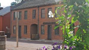
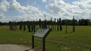
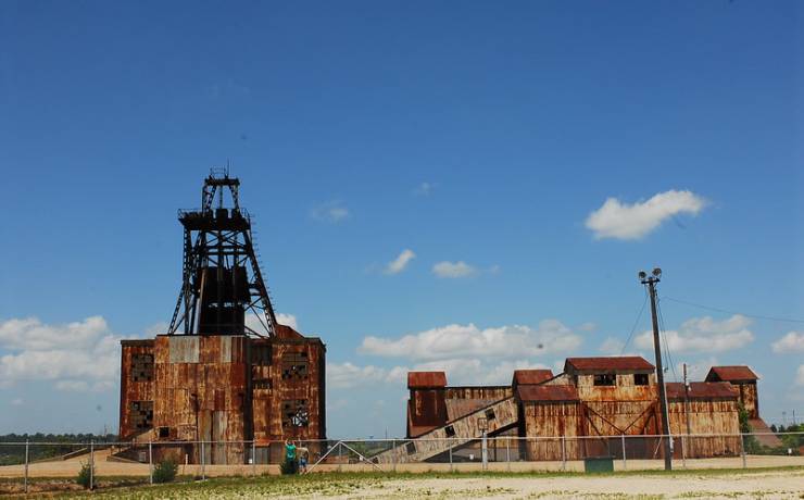
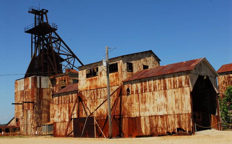
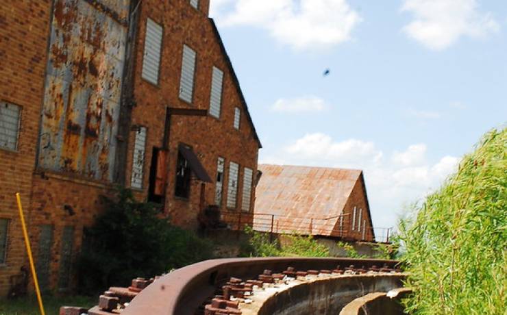
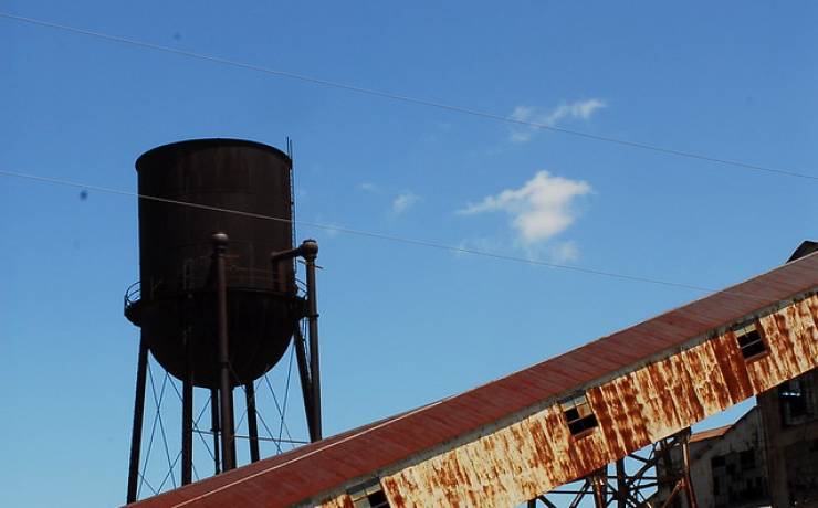
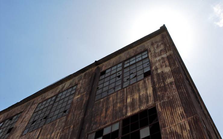
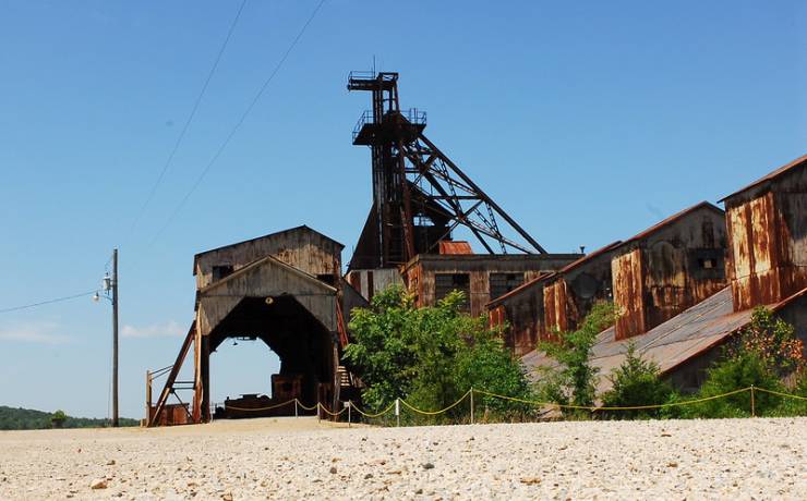
Historic Site Map
![]() |
Hwy. 32, P.O. Box 492, Park Hills, MO 63601 |
Map of Missouri Mines SHS How to get to Missouri Mines SHS Places to visit nearby |
Map of Missouri Mines State Historic Site

From St. Louis
Missouri Mines State Historic Site is one and one-half hours
from St. Louis. Take I-55 south to Festus. Take U.S. Hwy. 67
south to the Leadington/Park Hills exit where you will turn
right onto Hwy. 32. Continue on Hwy. 32 for approximately one
and one-half miles to the Hwy. 67/32 Park Hills Business
exit. Turn left and proceed to the historic site.
From Kansas City
Missouri Mines State Historic Site is seven hours from
Kansas City. Travel east on I-70 to St. Louis. Take I-270
south to I-55 south. Continue on I-55 to Festus where you
will take U.S. Hwy. 67 south. Proceed to the Leadington/Park
Hills exit where you will turn right onto Hwy. 32.. Travel
approximately one and one-half miles to the Hwy. 67/32 Park
Hills Business exit. Turn left and proceed to the the
historic site.
From Springfield
Missouri Mines State Historic Site is four hours from
Springfield. Travel east on I-44 to St. James. Take Hwy. 8
east out of St. James and continue to Park Hills. Turn right
onto Route Z and continue through downtown Park Hills. At the
stoplight, turn right. This will take you across Hwy. 32 and
into the historic site.

St. Joe State Park, Park Hills -- directions
Hawn State Park, Ste. Genevieve -- directions
St. Francois State Park, Bonne Terre -- directions
Elephant Rocks State Park -- directions

