Park Hours
For temporary closures related to weather, stewardship activities and maintenance, as well as temporary trail closures, click here to visit our Park and Site Status Map.
On the following days (actual or observed), staff will not be available and park buildings will be closed: Thanksgiving Day; Nov. 24, 2023; Christmas Eve; Christmas Day; New Year’s Eve; New Year’s Day; Martin Luther King Jr. Day; Lincoln’s Birthday; and Presidents Day.
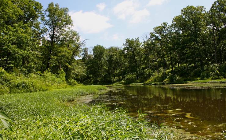
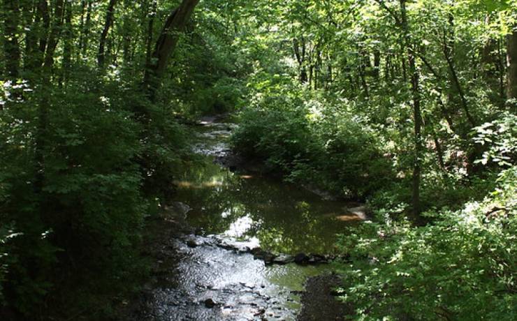
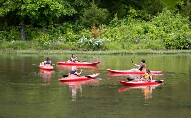
Park Grounds
Sunrise to sunset, daily, year-round
Nature Center hours
April 15-October (on-season)
8 a.m. to 4:30 p.m., daily
November-April 14 (off-season)
8 a.m. to 4:30 p.m., Monday-Friday
Closed Saturday and Sunday
On the following days (actual or observed), staff will not be available and park buildings will be closed: Thanksgiving Day; Nov. 24, 2023; Christmas Eve; Christmas Day; New Year’s Eve; New Year’s Day; Martin Luther King Jr. Day; Lincoln’s Birthday; and Presidents Day.
Park Office hours
8 a.m. to 4:30 p.m., Monday through Friday, year-round
On the following days (actual or observed), staff will not be available and park buildings will be closed: Thanksgiving Day; Nov. 24, 2023; Christmas Eve; Christmas Day; New Year’s Eve; New Year’s Day; Martin Luther King Jr. Day; Lincoln’s Birthday; and Presidents Day.
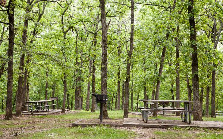
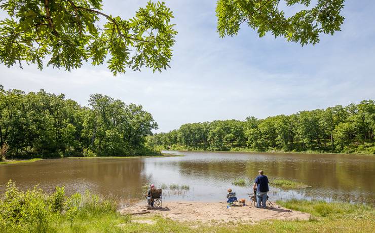
Picnic Area - Clearfork hours
7:30 a.m. to sunset, daily, year-round
Pack-in Campsites hours
April 15-October (on-season)
- Open and reservable through the park office
November-April 14 (off-season)