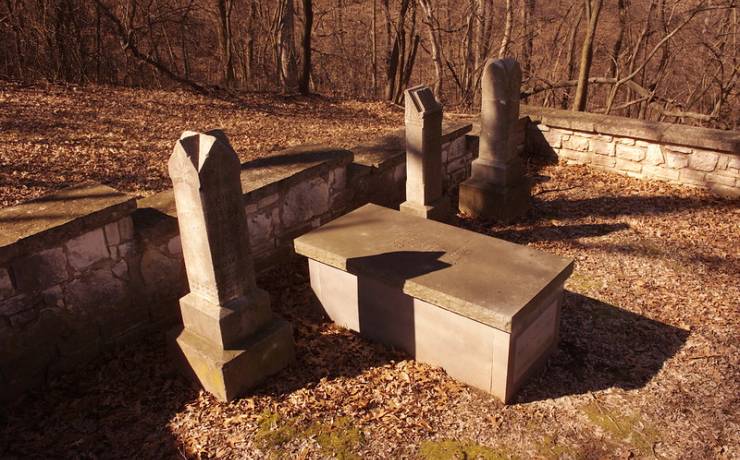
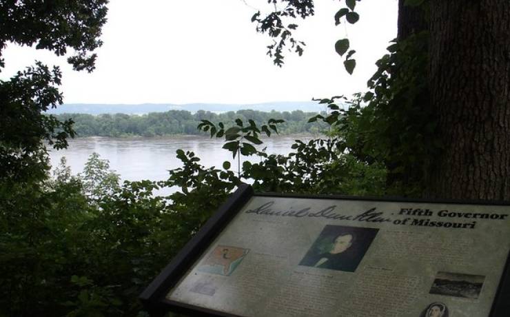
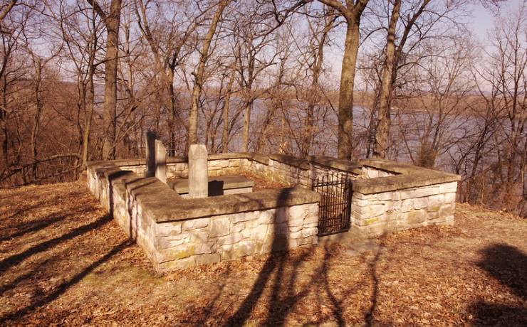
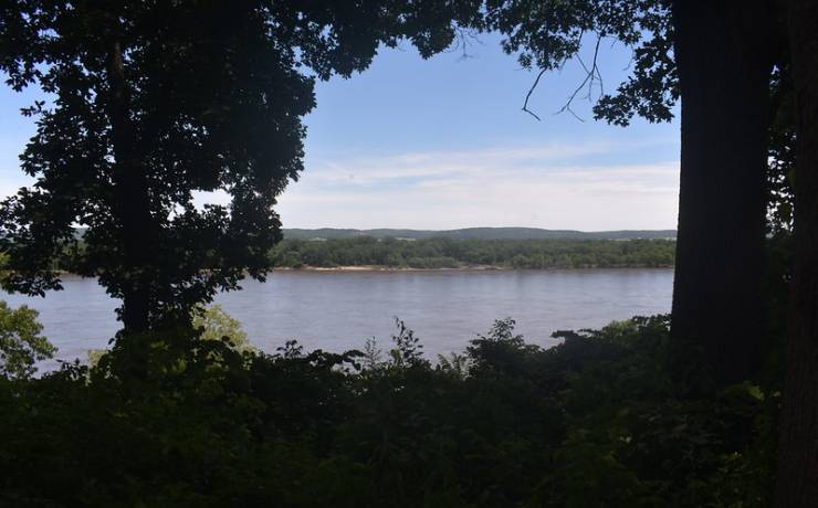
[Skip all navigation]

DNR Home PageDNR Home Page | Locator Map | Resource Center | FAQ | Events | Directory | Search

Gov. Daniel Dunklin's Grave State Historic Site
636-464-2976

Historic Site Map

Jefferson County. c/o Mastodon State Historic Site
636-464-2976
In Herculaneum, off U.S. Hwy 61/67, east on Joachim, north on Main Street, left on Dunklin Drive, Jefferson County
How to get to Gov. Daniel Dunklin's Grave SHS
Places to visit nearby

Directions to Gov. Daniel Dunklin's Grave State Historic Site

From St. Louis
Gov. Daniel Dunklin's Grave State Historic Site is approximately 30 miles south of St. Louis. Travel south on I-55 to Exit 180/Route Z at Pevely. Turn left onto Route Z and continue approximately one mile to U.S. Hwy. 61/67. Turn right and go approximately two and one-half miles on U.S. Hwy. 61/67. Near Herculaneum, turn left onto Joachim Street, bear left at the stop sign and fork. About .3 mile after the stop sign, turn left onto Dunklin Drive. The cemetery is at the terminus of Dunklin Drive.

From Cape Girardeau
Gov. Daniel Dunklin's Grave State Historic Site is approximately 85 miles north of Cape Girardeau. Travel north on I-55 to Exit 178/Herculaneum. Turn right onto McNutt Road and continue approximately .7 mile to U.S. Hwy. 61/67. Turn left onto U.S. Hwy. 61/67 and go about one and one-half miles. Turn right onto Joachim Street, bear left at the stop sign and fork. About .3 mile after the stop sign, turn left onto Dunklin Drive. The cemetery is at the terminus of Dunklin Drive.


Places to visit nearby

Mastodon State Historic Site, Imperial -- directions
Sandy Creek Covered Bridge State Historic Site -- directions