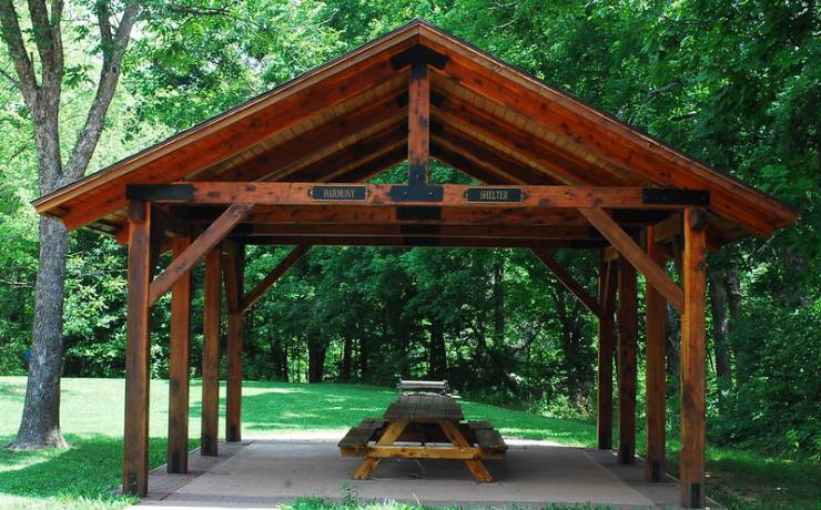
Park Hours
For temporary closures related to weather, stewardship activities and maintenance, as well as temporary trail closures, click here to visit our Park and Site Status Map.
On the following days (actual or observed), staff will not be available and site buildings will be closed: Thanksgiving Day; Nov. 24, 2023; Christmas Eve; Christmas Day; New Year’s Eve; New Year’s Day; Martin Luther King Jr. Day; Lincoln’s Birthday; Presidents Day; and Easter day.
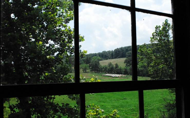
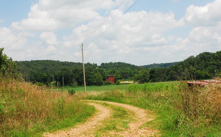
Historic Site Grounds:
May through October
8 a.m. to 8 p.m. daily
November through April
8 a.m. to 5 p.m. daily
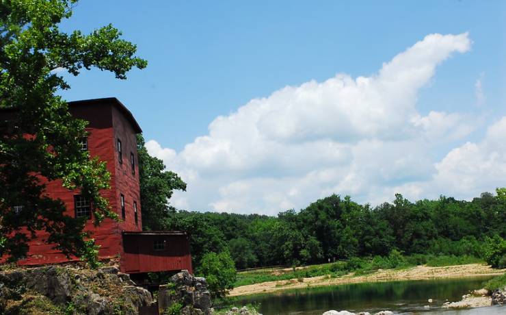
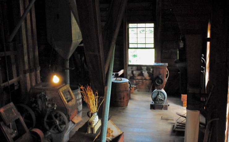
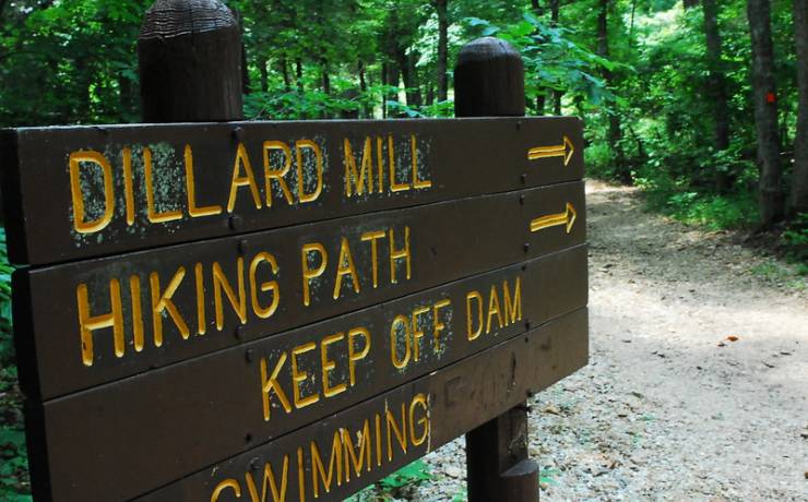
Dillard Mill hours
Tours
May through October
10 a.m., 12:30 p.m. and 2:30 p.m. Wednesday through Sunday
Tours on Monday and Tuesday by prior appointment only
November through April
10 a.m., 12:30 p.m. and 2:30 p.m. Friday through Sunday
Tours on Monday through Thursday by prior appointment only
Between scheduled tours, first-floor self-guided tours are offered and are accompanied by staff.
On the following days (actual or observed), staff will not be available and site buildings will be closed: Thanksgiving Day; Nov. 24, 2023; Christmas Eve; Christmas Day; New Year’s Eve; New Year’s Day; Martin Luther King Jr. Day; Lincoln’s Birthday; Presidents Day; and Easter day.
Historic Site Office hours
May through October
10 a.m. to 4 p.m. daily
Please note there will be times when the office is temporarily closed while staff are working on the grounds. The office telephone is monitored throughout the day for messages.
November through April
10 a.m. to 4 p.m. Wednesday through Sunday; closed Monday and Tuesday
On the following days (actual or observed), staff will not be available and site buildings will be closed: Thanksgiving Day; Nov. 24, 2023; Christmas Eve; Christmas Day; New Year’s Eve; New Year’s Day; Martin Luther King Jr. Day; Lincoln’s Birthday; Presidents Day; and Easter day.
Please note there will also be times when the office is temporarily closed while staff are working on the grounds. The office telephone is monitored throughout the day for messages.